Río Blanco night lights from space
Night Light of Río Blanco (Matagalpa) from space (Nicaragua) Src. Average luminocity for 10x10km area is 0.6472% and for 50x50km: 0.028%.
Analysis of Río Blanco night lights 2016
Square area 10x10 km:
 0%
0%90-99
0%80-89
0%70-79
0%60-69
0%50-59
0%40-49
0%30-39
1.73%20-29
0%10-19
0%0-9
98.27%Square area 50x50 km:
0%90-99
0%80-89
0%70-79
0%60-69
0%50-59
0%40-49
0%30-39
0.07%20-29
0%10-19
0%0-9
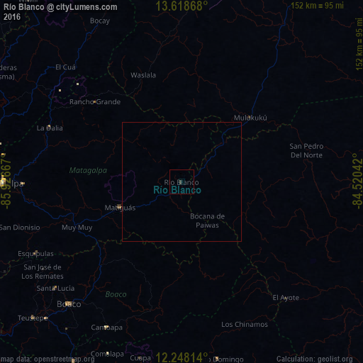
99.93%Clear (daylight) street map image can be seen on geolist.org.
Map coordinates:
13° 37' 7.2" North, 85° 55' 36" West
12° 56' 3.7" North, 85° 13' 24.7" West
12° 14' 53.3" North, 84° 31' 13.5" West
Some cities around Río Blanco sort by population:
• Matagalpa
75.2 km =46.7 mi,  269°
269°
• Boaco
69.8 km =43.4 mi,  222°
222°
• Camoapa
68.8 km =42.8 mi,  207°
207°
• Matiguás
28 km =17.4 mi,  247°
247°
• Bocana de Paiwas
19.8 km =12.3 mi,  146°
146°
• Las Praderas
72.7 km =45.2 mi,  291°
291°
• Waslala
37.5 km =23.3 mi,  332°
332°
• Santo Domingo
76.1 km =47.3 mi,  168°
168°
3617069 (p: 17,018)
Sources (retrieved 2019-11-25):
» Earth at Night: Flat Maps 2012, 2016