Wukari night lights from space
Night Light of Wukari (Taraba) from space (Nigeria) Src. Average luminocity for 10x10km area is 0% and for 50x50km: 0%.
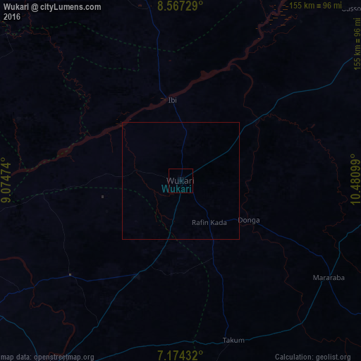

Analysis of Wukari night lights 2016
Square area 10x10 km:
 0%
0%90-99
0%80-89
0%70-79
0%60-69
0%50-59
0%40-49
0%30-39
0%20-29
0%10-19
0%0-9
100%Square area 50x50 km:
0%90-99
0%80-89
0%70-79
0%60-69
0%50-59
0%40-49
0%30-39
0%20-29
0%10-19
0%0-9
100%Clear (daylight) street map image can be seen on geolist.org.
Map coordinates:
8° 34' 2.2" North, 9° 4' 29.1" East
7° 52' 17" North, 9° 46' 40.3" East
7° 10' 27.6" North, 10° 28' 51.6" East
Some cities around Wukari sort by population:
• Katsina-Ala
95.1 km =59.1 mi,  214°
214°
• Takum
71 km =44.1 mi,  161°
161°
• Ibi
34.6 km =21.5 mi,  353°
353°
• Gassol
104.2 km =64.7 mi,  44°
44°
• Yelwa
108.1 km =67.2 mi, 351°
• Zaki Biam
44.5 km =27.7 mi,  204°
204°
• Yandev
98.8 km =61.4 mi,  235°
235°
• Riti
18.2 km =11.3 mi,  283°
283°
2318921 (p: 92,933)
Sources (retrieved 2019-11-25):
» NASA, Earths city lights 1995
» NASA city lights 2003
» Earth at Night: Flat Maps 2012, 2016