Riti night lights from space
Night Light of Riti (Taraba) from space (Nigeria) Src. Average luminocity for 10x10km area is 0% and for 50x50km: 0.0091%.
Analysis of Riti night lights 2016
Square area 10x10 km:
100  0%
0%
90-99 0%
80-89 0%
70-79 0%
60-69 0%
50-59 0%
40-49 0%
30-39 0%
20-29 0%
10-19 0%
0-9 100%
0%90-99
0%80-89
0%70-79
0%60-69
0%50-59
0%40-49
0%30-39
0%20-29
0%10-19
0%0-9
100%Square area 50x50 km:
100 0%
90-99 0%
80-89 0%
70-79 0%
60-69 0%
50-59 0%
40-49 0%
30-39 0%
20-29 0.03%
10-19 0%
0-9 99.97%
0%90-99
0%80-89
0%70-79
0%60-69
0%50-59
0%40-49
0%30-39
0%20-29
0.03%10-19
0%0-9
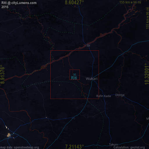
99.97%Clear (daylight) street map image can be seen on geolist.org.
Map coordinates:
8° 36' 15.4" North, 8° 54' 49.5" East
7° 54' 30.4" North, 9° 37' 0.8" East
7° 12' 41.1" North, 10° 19' 12" East
Some cities around Riti sort by population:
• Wukari
18.2 km =11.3 mi,  103°
103°
• Katsina-Ala
90 km =55.9 mi,  204°
204°
• Takum
82 km =51 mi,  150°
150°
• Ibi
33.4 km =20.8 mi,  24°
24°
• Gassol
114.8 km =71.3 mi,  52°
52°
• Yelwa
102.9 km =63.9 mi,  1°
1°
• Zaki Biam
44.7 km =27.8 mi,  180°
180°
• Yandev
87.7 km =54.5 mi,  226°
226°
2324439 (p: 6,875)
Sources (retrieved 2019-11-25):
» Earth at Night: Flat Maps 2012, 2016