Numan night lights from space
Night Light of Numan (Adamawa) from space (Nigeria) Src. Average luminocity for 10x10km area is 0% and for 50x50km: 0.0797%.
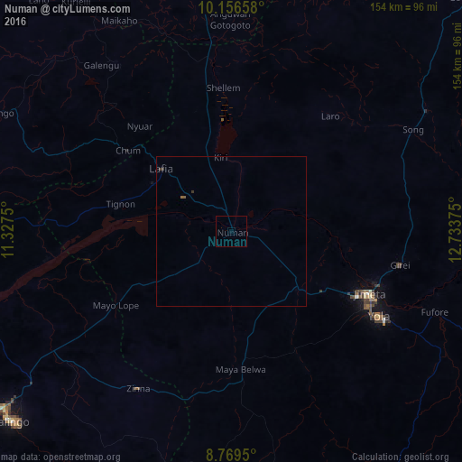
Analysis of Numan night lights 2016
Square area 10x10 km:
 0%
0%90-99
0%80-89
0%70-79
0%60-69
0%50-59
0%40-49
0%30-39
0%20-29
0%10-19
0%0-9
100%Square area 50x50 km:
0%90-99
0%80-89
0%70-79
0%60-69
0.02%50-59
0.05%40-49
0%30-39
0.1%20-29
0%10-19
0%0-9
99.83%Clear (daylight) street map image can be seen on geolist.org.
Map coordinates:
10° 9' 23.7" North, 11° 19' 39" East
9° 27' 49.5" North, 12° 1' 50.2" East
8° 46' 10.2" North, 12° 44' 1.5" East
Some cities around Numan sort by population:
• Jimeta
51.2 km =31.8 mi,  113°
113°
• Yola
57 km =35.4 mi,  119°
119°
• Shani
84 km =52.2 mi,  2°
2°
• Lau
87.6 km =54.4 mi,  251°
251°
• Kaltungo
88.5 km =55 mi,  296°
296°
• Ngurore
30.1 km =18.7 mi,  130°
130°
• Dadiya
67.7 km =42.1 mi,  284°
284°
• Mayo-Belwa
45.6 km =28.3 mi,  176°
176°
2328617 (p: 77,617)
Sources (retrieved 2019-11-25):
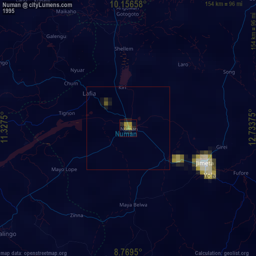
» NASA, Earths city lights 1995
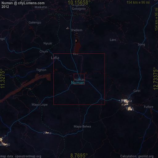
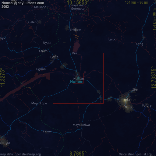
» NASA city lights 2003
» Earth at Night: Flat Maps 2012, 2016