Ngurore night lights from space
Night Light of Ngurore (Adamawa) from space (Nigeria) Src. Average luminocity for 10x10km area is 0% and for 50x50km: 1.0442%.
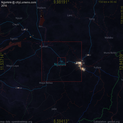
Analysis of Ngurore night lights 2016
Square area 10x10 km:
 0%
0%90-99
0%80-89
0%70-79
0%60-69
0%50-59
0%40-49
0%30-39
0%20-29
0%10-19
0%0-9
100%Square area 50x50 km:
0.03%90-99
0.03%80-89
0.17%70-79
0.03%60-69
0.15%50-59
0.25%40-49
0.45%30-39
0.27%20-29
0.14%10-19
0.64%0-9
97.82%Clear (daylight) street map image can be seen on geolist.org.
Map coordinates:
9° 58' 54.9" North, 11° 32' 13.7" East
9° 17' 19.4" North, 12° 14' 24.9" East
8° 35' 38.9" North, 12° 56' 36.2" East
Some cities around Ngurore sort by population:
• Jimeta
23.9 km =14.9 mi,  92°
92°
• Jalingo
106.2 km =66 mi,  245°
245°
• Yola
27.9 km =17.3 mi,  108°
108°
• Numan
30.1 km =18.7 mi,  310°
310°
• Ganye
97.2 km =60.4 mi,  192°
192°
• Shani
105.2 km =65.4 mi,  349°
349°
• Dadiya
95.7 km =59.5 mi,  292°
292°
• Mayo-Belwa
32.9 km =20.4 mi,  217°
217°
2328960 (p: 8,139)
Sources (retrieved 2019-11-25):
» Earth at Night: Flat Maps 2012, 2016