Ganye night lights from space
Night Light of Ganye (Adamawa) from space (Nigeria) Src. Average luminocity for 10x10km area is 0% and for 50x50km: 0%.
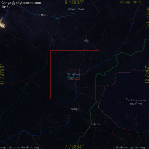
Analysis of Ganye night lights 2016
Square area 10x10 km:
100  0%
0%
90-99 0%
80-89 0%
70-79 0%
60-69 0%
50-59 0%
40-49 0%
30-39 0%
20-29 0%
10-19 0%
0-9 100%
0%90-99
0%80-89
0%70-79
0%60-69
0%50-59
0%40-49
0%30-39
0%20-29
0%10-19
0%0-9
100%Square area 50x50 km:
100 0%
90-99 0%
80-89 0%
70-79 0%
60-69 0%
50-59 0%
40-49 0%
30-39 0%
20-29 0%
10-19 0%
0-9 100%
0%90-99
0%80-89
0%70-79
0%60-69
0%50-59
0%40-49
0%30-39
0%20-29
0%10-19
0%0-9
100%Clear (daylight) street map image can be seen on geolist.org.
Map coordinates:
9° 7' 47.5" North, 11° 20' 52.6" East
8° 26' 5.9" North, 12° 3' 3.9" East
7° 44' 19.8" North, 12° 45' 15.1" East
Some cities around Ganye sort by population:
• Jimeta
104 km =64.6 mi,  25°
25°
• Jalingo
91.5 km =56.9 mi,  303°
303°
• Yola
98.1 km =61 mi, 28°
• Numan
114.4 km =71.1 mi,  358°
358°
• Toungo
35.3 km =21.9 mi,  180°
180°
• Ngurore
97.2 km =60.4 mi,  12°
12°
• Kontcha, CM
55.8 km =34.7 mi,  158°
158°
• Mayo-Belwa
68.9 km =42.8 mi,  0°
0°
2341955 (p: 15,178)
Sources (retrieved 2019-11-25):
» Earth at Night: Flat Maps 2012, 2016