Wuyo night lights from space
Night Light of Wuyo (Borno) from space (Nigeria) Src. Average luminocity for 10x10km area is 0% and for 50x50km: 0.0195%.
Analysis of Wuyo night lights 2016
Square area 10x10 km:
100  0%
0%
90-99 0%
80-89 0%
70-79 0%
60-69 0%
50-59 0%
40-49 0%
30-39 0%
20-29 0%
10-19 0%
0-9 100%
0%90-99
0%80-89
0%70-79
0%60-69
0%50-59
0%40-49
0%30-39
0%20-29
0%10-19
0%0-9
100%Square area 50x50 km:
100 0%
90-99 0%
80-89 0%
70-79 0%
60-69 0%
50-59 0%
40-49 0%
30-39 0%
20-29 0%
10-19 0.1%
0-9 99.9%
0%90-99
0%80-89
0%70-79
0%60-69
0%50-59
0%40-49
0%30-39
0%20-29
0%10-19
0.1%0-9
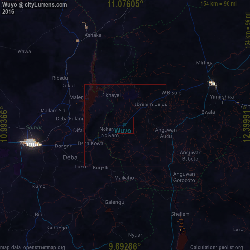
99.9%Clear (daylight) street map image can be seen on geolist.org.
Map coordinates:
11° 4' 33.8" North, 10° 59' 37.2" East
10° 23' 6.8" North, 11° 41' 48.4" East
9° 41' 34.3" North, 12° 23' 59.7" East
Some cities around Wuyo sort by population:
• Gombe
58.9 km =36.6 mi,  259°
259°
• Biu
60 km =37.3 mi,  65°
65°
• Kumo
65.1 km =40.5 mi,  234°
234°
• Garko
62.7 km =39 mi,  248°
248°
• Deba
39 km =24.2 mi,  240°
240°
• Shani
43.9 km =27.3 mi,  115°
115°
• Miringa
62.4 km =38.8 mi,  51°
51°
• Hinna
23.4 km =14.5 mi, 247°
2318534 (p: 9,189)
Sources (retrieved 2019-11-25):
» Earth at Night: Flat Maps 2012, 2016