Biu night lights from space
Night Light of Biu (Borno) from space (Nigeria) Src. Average luminocity for 10x10km area is 10.0868% and for 50x50km: 0.4694%.

Analysis of Biu night lights 2016
Square area 10x10 km:
 0.62%
0.62%90-99
2.48%80-89
1.86%70-79
1.03%60-69
1.45%50-59
0%40-49
0.83%30-39
2.07%20-29
2.48%10-19
2.07%0-9
85.12%Square area 50x50 km:
0.03%90-99
0.1%80-89
0.08%70-79
0.04%60-69
0.06%50-59
0.02%40-49
0.06%30-39
0.11%20-29
0.1%10-19
0.15%0-9
99.26%Clear (daylight) street map image can be seen on geolist.org.
Map coordinates:
11° 18' 11.3" North, 11° 29' 29.3" East
10° 36' 46.3" North, 12° 11' 40.5" East
9° 55' 15.6" North, 12° 53' 51.8" East
Some cities around Biu sort by population:
• Damboa
86 km =53.4 mi,  45°
45°
• Gombi
77.3 km =48 mi,  129°
129°
• Shani
46.3 km =28.8 mi,  198°
198°
• Miringa
14.2 km =8.8 mi,  338°
338°
• Goniri
97.8 km =60.8 mi,  7°
7°
• Wuyo
60 km =37.3 mi,  245°
245°
• Hinna
83.4 km =51.8 mi, 245°
• Shaffa
19.2 km =11.9 mi, 127°
2346995 (p: 95,005)
Sources (retrieved 2019-11-25):
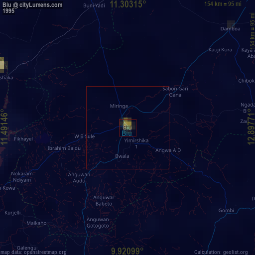
» NASA, Earths city lights 1995
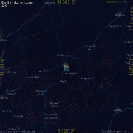
» NASA city lights 2003
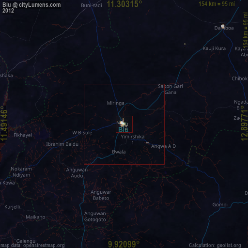
» Earth at Night: Flat Maps 2012, 2016