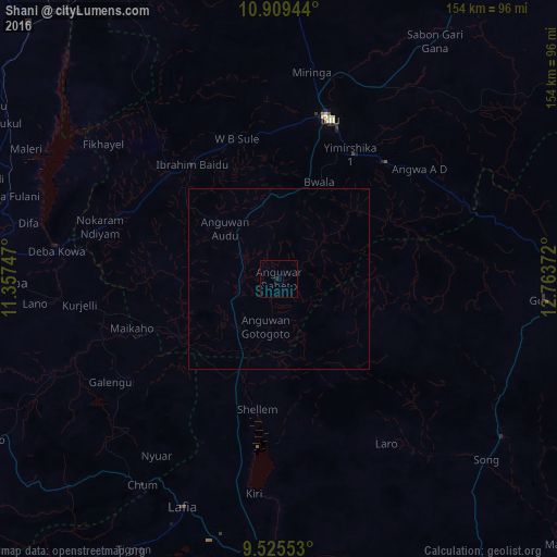
Shani night lights from space
Night Light of Shani (Borno) from space (Nigeria) Src. Average luminocity for 10x10km area is 0.1901% and for 50x50km: 0.0077%.
Analysis of Shani night lights 2016
Square area 10x10 km:
100  0%
0%
90-99 0%
80-89 0%
70-79 0%
60-69 0%
50-59 0%
40-49 0%
30-39 0%
20-29 0.83%
10-19 0%
0-9 99.17%
0%90-99
0%80-89
0%70-79
0%60-69
0%50-59
0%40-49
0%30-39
0%20-29
0.83%10-19
0%0-9
99.17%Square area 50x50 km:
100 0%
90-99 0%
80-89 0%
70-79 0%
60-69 0%
50-59 0%
40-49 0%
30-39 0%
20-29 0.03%
10-19 0%
0-9 99.97%
0%90-99
0%80-89
0%70-79
0%60-69
0%50-59
0%40-49
0%30-39
0%20-29
0.03%10-19
0%0-9
99.97%Clear (daylight) street map image can be seen on geolist.org.
Map coordinates:
10° 54' 34" North, 11° 21' 26.9" East
10° 13' 5.7" North, 12° 3' 38.1" East
9° 31' 31.9" North, 12° 45' 49.4" East
Some cities around Shani sort by population:
• Biu
46.3 km =28.8 mi,  18°
18°
• Numan
84 km =52.2 mi,  182°
182°
• Gombi
74.2 km =46.1 mi,  94°
94°
• Deba
73.7 km =45.8 mi,  269°
269°
• Miringa
57.8 km =35.9 mi,  9°
9°
• Wuyo
43.9 km =27.3 mi,  295°
295°
• Hinna
62.2 km =38.6 mi,  278°
278°
• Shaffa
43.8 km =27.2 mi,  42°
42°
2323344 (p: 14,305)
Sources (retrieved 2019-11-25):
» Earth at Night: Flat Maps 2012, 2016