Gombe night lights from space
Night Light of Gombe from space (Nigeria) Src. Average luminocity for 10x10km area is 40.7769% and for 50x50km: 2.1423%.
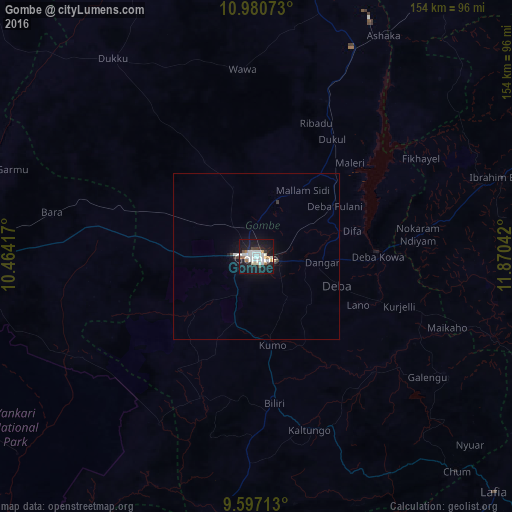
Analysis of Gombe night lights 2016
Square area 10x10 km:
 11.16%
90-99
13.02%80-89
1.45%70-79
2.48%60-69
3.72%50-59
1.86%40-49
2.07%30-39
1.65%20-29
5.79%10-19
50.41%0-9
6.4%Square area 50x50 km:
0.48%90-99
0.57%80-89
0.09%70-79
0.1%60-69
0.15%50-59
0.08%40-49
0.12%30-39
0.17%20-29
0.29%10-19
2.68%0-9
95.27%Clear (daylight) street map image can be seen on geolist.org.
Map coordinates:
10° 58' 50.6" North, 10° 27' 51" East
10° 17' 22.9" North, 11° 10' 2.2" East
9° 35' 49.7" North, 11° 52' 13.5" East
Some cities around Gombe sort by population:
• Pindiga
41.3 km =25.7 mi,  214°
214°
• Kumo
27.3 km =17 mi,  170°
170°
• Garko
12.7 km =7.9 mi,  181°
181°
• Deba
25.6 km =15.9 mi,  109°
109°
• Billiri
47.6 km =29.6 mi, 172°
• Kafarati
13 km =8.1 mi,  322°
322°
• Hinna
36.3 km =22.6 mi,  87°
87°
• Akko
21.2 km =13.2 mi,  269°
269°
2340451 (p: 250,258)
Sources (retrieved 2019-11-25):
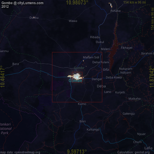
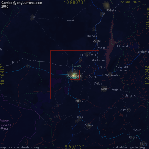
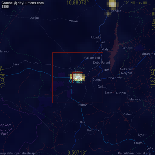
» NASA, Earths city lights 1995
» NASA city lights 2003
» Earth at Night: Flat Maps 2012, 2016