Hinna night lights from space
Night Light of Hinna (Gombe) from space (Nigeria) Src. Average luminocity for 10x10km area is 0.3347% and for 50x50km: 0.0136%.
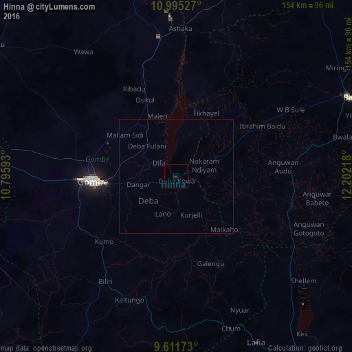
Analysis of Hinna night lights 2016
Square area 10x10 km:
100  0%
0%
90-99 0%
80-89 0%
70-79 0%
60-69 0%
50-59 0%
40-49 0%
30-39 0%
20-29 0%
10-19 1.65%
0-9 98.35%
0%90-99
0%80-89
0%70-79
0%60-69
0%50-59
0%40-49
0%30-39
0%20-29
0%10-19
1.65%0-9
98.35%Square area 50x50 km:
100 0%
90-99 0%
80-89 0%
70-79 0%
60-69 0%
50-59 0%
40-49 0%
30-39 0%
20-29 0%
10-19 0.07%
0-9 99.93%
0%90-99
0%80-89
0%70-79
0%60-69
0%50-59
0%40-49
0%30-39
0%20-29
0%10-19
0.07%0-9
99.93%Clear (daylight) street map image can be seen on geolist.org.
Map coordinates:
10° 59' 43" North, 10° 47' 45.3" East
10° 18' 15.3" North, 11° 29' 56.6" East
9° 36' 42.2" North, 12° 12' 7.8" East
Some cities around Hinna sort by population:
• Gombe
36.3 km =22.6 mi,  267°
267°
• Kumo
42.5 km =26.4 mi,  227°
227°
• Garko
39.3 km =24.4 mi,  248°
248°
• Deba
16 km =9.9 mi, 230°
• Billiri
57.2 km =35.5 mi,  211°
211°
• Kafarati
45 km =28 mi,  281°
281°
• Wuyo
23.4 km =14.5 mi,  67°
67°
• Akko
57.6 km =35.8 mi, 268°
2339483 (p: 7,826)
Sources (retrieved 2019-11-25):
» Earth at Night: Flat Maps 2012, 2016