Nnewi night lights from space
Night Light of Nnewi (Anambra) from space (Nigeria) Src. Average luminocity for 10x10km area is 6.5888% and for 50x50km: 6.2593%.
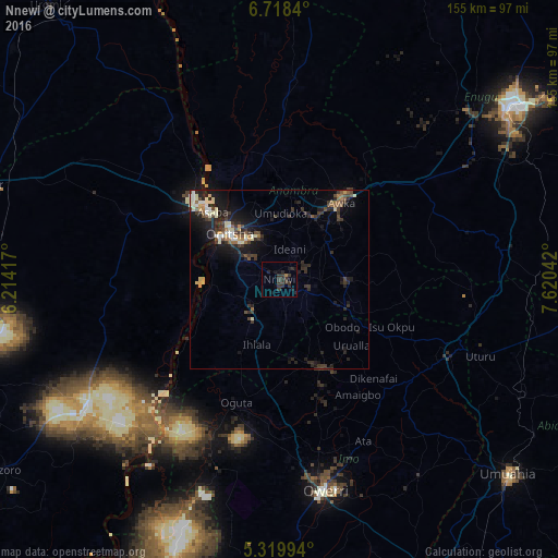
Analysis of Nnewi night lights 2016
Square area 10x10 km:
 0%
0%90-99
0%80-89
0%70-79
0%60-69
0.83%50-59
0%40-49
0%30-39
8.47%20-29
5.79%10-19
4.75%0-9
80.17%Square area 50x50 km:
0.28%90-99
1.17%80-89
0.63%70-79
0.42%60-69
0.61%50-59
0.73%40-49
1.02%30-39
2.25%20-29
2.65%10-19
5.26%0-9
84.98%Clear (daylight) street map image can be seen on geolist.org.
Map coordinates:
6° 43' 6.2" North, 6° 12' 51" East
6° 1' 10.6" North, 6° 55' 2.2" East
5° 19' 11.8" North, 7° 37' 13.5" East
Some cities around Nnewi sort by population:
• Atani
18.8 km =11.7 mi,  267°
267°
• Nkpor
17.4 km =10.8 mi,  326°
326°
• Ihiala
19.4 km =12.1 mi,  199°
199°
• Agulu
18.3 km =11.4 mi,  60°
60°
• Igbo-Ukwu
11.4 km =7.1 mi,  90°
90°
• Ozubulu
9.9 km =6.2 mi,  225°
225°
• Enugu-Ukwu
19.5 km =12.1 mi,  29°
29°
• Uruobo-Okija
15.6 km =9.7 mi,  211°
211°
2328765 (p: 193,987)
Sources (retrieved 2019-11-25):
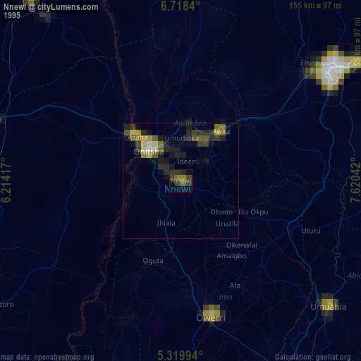
» NASA, Earths city lights 1995
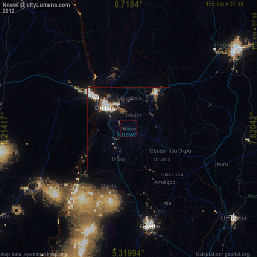
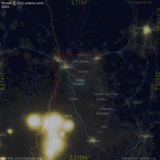
» NASA city lights 2003
» Earth at Night: Flat Maps 2012, 2016