Tambuwal night lights from space
Night Light of Tambuwal (Sokoto) from space (Nigeria) Src. Average luminocity for 10x10km area is 1.1901% and for 50x50km: 0.2694%.
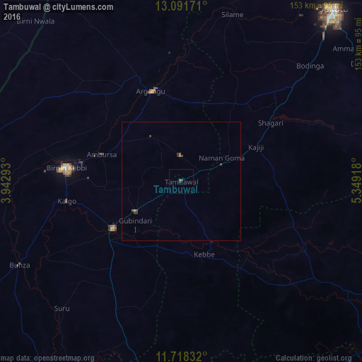
Analysis of Tambuwal night lights 2016
Square area 10x10 km:
 0%
0%90-99
0%80-89
0%70-79
0%60-69
0%50-59
0.83%40-49
0.83%30-39
0.41%20-29
0.41%10-19
0%0-9
97.52%Square area 50x50 km:
0%90-99
0%80-89
0%70-79
0.07%60-69
0.02%50-59
0.08%40-49
0.16%30-39
0.12%20-29
0.06%10-19
0%0-9
99.49%Clear (daylight) street map image can be seen on geolist.org.
Map coordinates:
13° 5' 30.2" North, 3° 56' 34.5" East
12° 24' 21.3" North, 4° 38' 45.8" East
11° 43' 6" North, 5° 20' 57" East
Some cities around Tambuwal sort by population:
• Birnin Kebbi
49 km =30.4 mi,  276°
276°
• Jega
35.3 km =21.9 mi,  234°
234°
• Argungu
39.9 km =24.8 mi,  340°
340°
• Gummi
58.9 km =36.6 mi,  119°
119°
• Dange
90.7 km =56.4 mi,  56°
56°
• Gwandu
10.7 km =6.6 mi,  358°
358°
• Maiyama
46.9 km =29.1 mi,  219°
219°
• Gulma
41.1 km =25.5 mi,  309°
309°
2322495 (p: 20,932)
Sources (retrieved 2019-11-25):
» Earth at Night: Flat Maps 2012, 2016