Gummi night lights from space
Night Light of Gummi (Zamfara) from space (Nigeria) Src. Average luminocity for 10x10km area is 0% and for 50x50km: 0%.
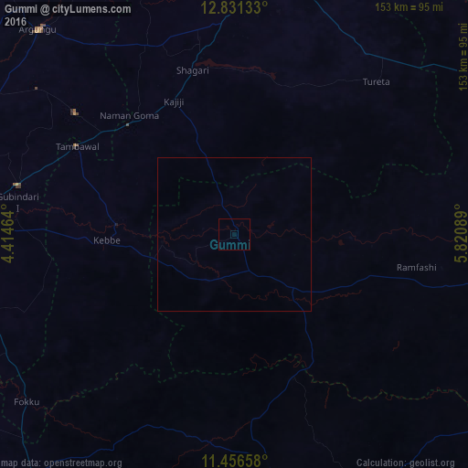
Analysis of Gummi night lights 2016
Square area 10x10 km:
100  0%
0%
90-99 0%
80-89 0%
70-79 0%
60-69 0%
50-59 0%
40-49 0%
30-39 0%
20-29 0%
10-19 0%
0-9 100%
0%90-99
0%80-89
0%70-79
0%60-69
0%50-59
0%40-49
0%30-39
0%20-29
0%10-19
0%0-9
100%Square area 50x50 km:
100 0%
90-99 0%
80-89 0%
70-79 0%
60-69 0%
50-59 0%
40-49 0%
30-39 0%
20-29 0%
10-19 0%
0-9 100%
0%90-99
0%80-89
0%70-79
0%60-69
0%50-59
0%40-49
0%30-39
0%20-29
0%10-19
0%0-9
100%Clear (daylight) street map image can be seen on geolist.org.
Map coordinates:
12° 49' 52.8" North, 4° 24' 52.7" East
12° 8' 41.4" North, 5° 7' 3.9" East
11° 27' 23.7" North, 5° 49' 15.2" East
Some cities around Gummi sort by population:
• Jega
80.7 km =50.1 mi,  276°
276°
• Zuru
79.9 km =49.6 mi,  170°
170°
• Tambuwal
58.9 km =36.6 mi,  299°
299°
• Dange
82.6 km =51.3 mi,  17°
17°
• Gwandu
65.1 km =40.5 mi,  307°
307°
• Maiyama
81.7 km =50.8 mi,  265°
265°
• Mahuta
67.4 km =41.9 mi,  192°
192°
• Dabai
74.9 km =46.5 mi, 172°
2340086 (p: 38,744)
Sources (retrieved 2019-11-25):
» Earth at Night: Flat Maps 2012, 2016