Gwandu night lights from space
Night Light of Gwandu (Kebbi) from space (Nigeria) Src. Average luminocity for 10x10km area is 2.2706% and for 50x50km: 0.2683%.
Analysis of Gwandu night lights 2016
Square area 10x10 km:
 0%
0%90-99
0%80-89
0%70-79
0.87%60-69
0.43%50-59
0.43%40-49
0.65%30-39
0.87%20-29
1.08%10-19
0%0-9
95.67%Square area 50x50 km:
0%90-99
0%80-89
0%70-79
0.07%60-69
0.02%50-59
0.08%40-49
0.16%30-39
0.12%20-29
0.06%10-19
0%0-9
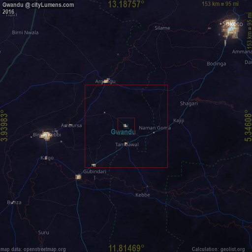
99.49%Clear (daylight) street map image can be seen on geolist.org.
Map coordinates:
13° 11' 15.3" North, 3° 56' 23.4" East
12° 30' 7.3" North, 4° 38' 34.6" East
11° 48' 52.9" North, 5° 20' 45.9" East
Some cities around Gwandu sort by population:
• Birnin Kebbi
48.7 km =30.3 mi,  263°
263°
• Jega
42.2 km =26.2 mi,  222°
222°
• Argungu
29.9 km =18.6 mi,  334°
334°
• Gummi
65.1 km =40.5 mi,  127°
127°
• Tambuwal
10.7 km =6.6 mi,  178°
178°
• Maiyama
55.4 km =34.4 mi,  212°
212°
• Gulma
34.9 km =21.7 mi,  296°
296°
• Binji
85.2 km =52.9 mi,  19°
19°
2339811 (p: 10,018)
Sources (retrieved 2019-11-25):
» Earth at Night: Flat Maps 2012, 2016