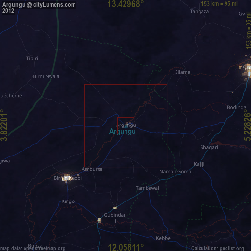
Argungu night lights from space
Night Light of Argungu (Kebbi) from space (Nigeria) Src. Average luminocity for 10x10km area is 5.1082% and for 50x50km: 0.228%.
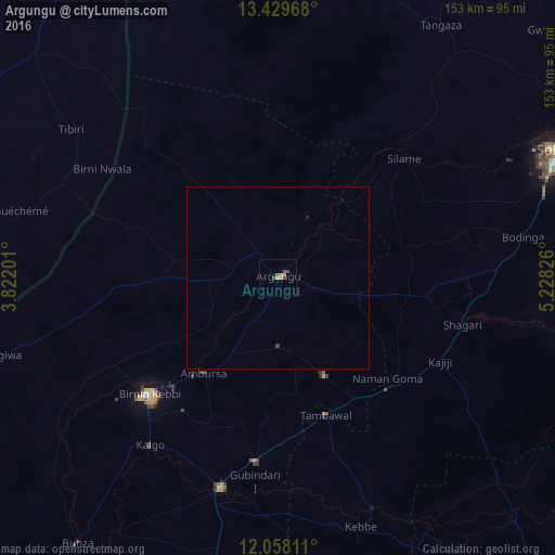
Analysis of Argungu night lights 2016
Square area 10x10 km:
 0%
0%90-99
0%80-89
0%70-79
2.6%60-69
0.87%50-59
1.73%40-49
1.73%30-39
0.87%20-29
0%10-19
0%0-9
92.21%Square area 50x50 km:
0%90-99
0%80-89
0%70-79
0.1%60-69
0.03%50-59
0.07%40-49
0.09%30-39
0.04%20-29
0%10-19
0.03%0-9
99.63%Clear (daylight) street map image can be seen on geolist.org.
Map coordinates:
13° 25' 46.8" North, 3° 49' 19.2" East
12° 44' 41.4" North, 4° 31' 30.5" East
12° 3' 29.2" North, 5° 13' 41.7" East
Some cities around Argungu sort by population:
• Birnin Kebbi
48.1 km =29.9 mi,  227°
227°
• Jega
60.1 km =37.3 mi,  195°
195°
• Tambuwal
39.9 km =24.8 mi,  160°
160°
• Kangiwa
79.6 km =49.5 mi,  254°
254°
• Gwandu
29.9 km =18.6 mi,  154°
154°
• Maiyama
75.6 km =47 mi,  192°
192°
• Gulma
21.6 km =13.4 mi,  238°
238°
• Binji
67.5 km =41.9 mi,  38°
38°
2349431 (p: 45,584)
Sources (retrieved 2019-11-25):
» Earth at Night: Flat Maps 2012, 2016