Maiyama night lights from space
Night Light of Maiyama (Kebbi) from space (Nigeria) Src. Average luminocity for 10x10km area is 0% and for 50x50km: 0.366%.
Analysis of Maiyama night lights 2016
Square area 10x10 km:
100  0%
0%
90-99 0%
80-89 0%
70-79 0%
60-69 0%
50-59 0%
40-49 0%
30-39 0%
20-29 0%
10-19 0%
0-9 100%
0%90-99
0%80-89
0%70-79
0%60-69
0%50-59
0%40-49
0%30-39
0%20-29
0%10-19
0%0-9
100%Square area 50x50 km:
100 0%
90-99 0%
80-89 0.05%
70-79 0.1%
60-69 0.06%
50-59 0.09%
40-49 0.06%
30-39 0.2%
20-29 0.02%
10-19 0.03%
0-9 99.39%
0%90-99
0%80-89
0.05%70-79
0.1%60-69
0.06%50-59
0.09%40-49
0.06%30-39
0.2%20-29
0.02%10-19
0.03%0-9
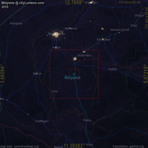
99.39%Clear (daylight) street map image can be seen on geolist.org.
Map coordinates:
12° 46' 8" North, 3° 39' 57.4" East
12° 4' 56.1" North, 4° 22' 8.7" East
11° 23' 37.8" North, 5° 4' 19.9" East
Some cities around Maiyama sort by population:
• Birnin Kebbi
45.3 km =28.1 mi,  335°
335°
• Jega
15.7 km =9.8 mi,  4°
4°
• Argungu
75.6 km =47 mi,  12°
12°
• Tambuwal
46.9 km =29.1 mi,  39°
39°
• Dakingari
58.7 km =36.5 mi,  214°
214°
• Gwandu
55.4 km =34.4 mi,  32°
32°
• Kende
63.7 km =39.6 mi,  190°
190°
• Gulma
62.3 km =38.7 mi,  358°
358°
2331267 (p: 10,014)
Sources (retrieved 2019-11-25):
» Earth at Night: Flat Maps 2012, 2016