Jega night lights from space
Night Light of Jega (Kebbi) from space (Nigeria) Src. Average luminocity for 10x10km area is 6.6012% and for 50x50km: 0.8522%.
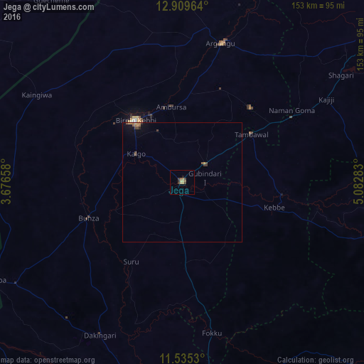
Analysis of Jega night lights 2016
Square area 10x10 km:
 0%
0%90-99
0%80-89
1.24%70-79
1.65%60-69
1.45%50-59
1.45%40-49
0.41%30-39
3.51%20-29
0.41%10-19
0.62%0-9
89.26%Square area 50x50 km:
0%90-99
0%80-89
0.1%70-79
0.24%60-69
0.13%50-59
0.2%40-49
0.19%30-39
0.25%20-29
0.07%10-19
0.31%0-9
98.5%Clear (daylight) street map image can be seen on geolist.org.
Map coordinates:
12° 54' 34.7" North, 3° 40' 35.7" East
12° 13' 24.1" North, 4° 22' 47" East
11° 32' 7.1" North, 5° 4' 58.2" East
Some cities around Jega sort by population:
• Birnin Kebbi
32.4 km =20.1 mi,  322°
322°
• Argungu
60.1 km =37.3 mi,  15°
15°
• Tambuwal
35.3 km =21.9 mi,  54°
54°
• Dakingari
72.7 km =45.2 mi,  208°
208°
• Kangiwa
71.2 km =44.2 mi,  301°
301°
• Gwandu
42.2 km =26.2 mi,  42°
42°
• Maiyama
15.7 km =9.8 mi,  184°
184°
• Gulma
46.7 km =29 mi,  356°
356°
2336237 (p: 73,495)
Sources (retrieved 2019-11-25):
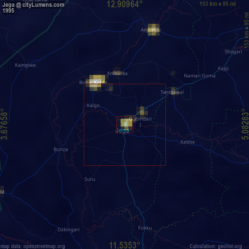
» NASA, Earths city lights 1995
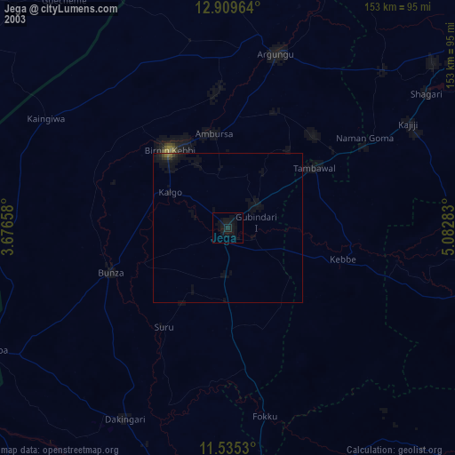
» NASA city lights 2003
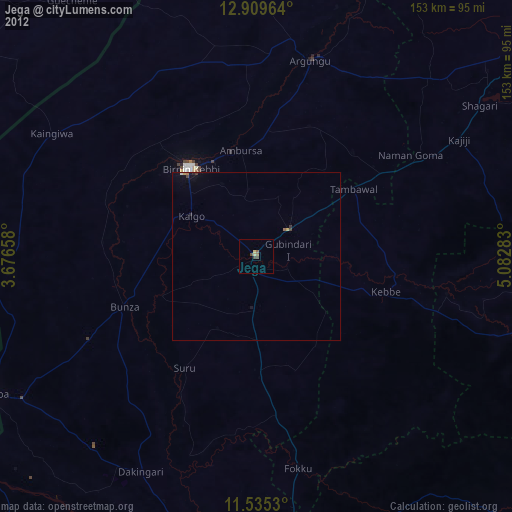
» Earth at Night: Flat Maps 2012, 2016