Dange night lights from space
Night Light of Dange (Sokoto) from space (Nigeria) Src. Average luminocity for 10x10km area is 0% and for 50x50km: 2.9833%.
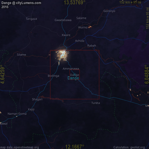
Analysis of Dange night lights 2016
Square area 10x10 km:
100  0%
0%
90-99 0%
80-89 0%
70-79 0%
60-69 0%
50-59 0%
40-49 0%
30-39 0%
20-29 0%
10-19 0%
0-9 100%
0%90-99
0%80-89
0%70-79
0%60-69
0%50-59
0%40-49
0%30-39
0%20-29
0%10-19
0%0-9
100%Square area 50x50 km:
100 0.18%
90-99 0.48%
80-89 0.33%
70-79 0.46%
60-69 0.42%
50-59 0.5%
40-49 0.84%
30-39 0.7%
20-29 0.38%
10-19 1.97%
0-9 93.73%
0.18%90-99
0.48%80-89
0.33%70-79
0.46%60-69
0.42%50-59
0.5%40-49
0.84%30-39
0.7%20-29
0.38%10-19
1.97%0-9
93.73%Clear (daylight) street map image can be seen on geolist.org.
Map coordinates:
13° 32' 15.7" North, 4° 38' 33.3" East
12° 51' 11.3" North, 5° 20' 44.6" East
12° 10' 0.1" North, 6° 2' 55.8" East
Some cities around Dange sort by population:
• Sokoto
25.8 km =16 mi,  334°
334°
• Gummi
82.6 km =51.3 mi,  197°
197°
• Gwadabawa
57.4 km =35.7 mi,  348°
348°
• Gandi
44.8 km =27.8 mi,  74°
74°
• Wurno
49.4 km =30.7 mi,  9°
9°
• Goronyo
74.4 km =46.2 mi,  28°
28°
• Rabah
34.7 km =21.6 mi, 30°
• Binji
62.7 km =39 mi,  310°
310°
2345349 (p: 12,369)
Sources (retrieved 2019-11-25):
» Earth at Night: Flat Maps 2012, 2016