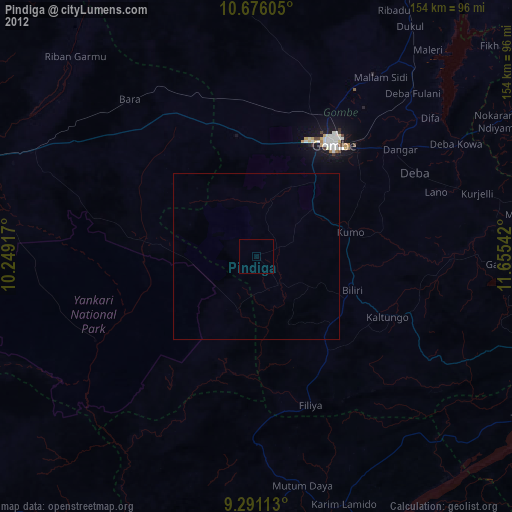
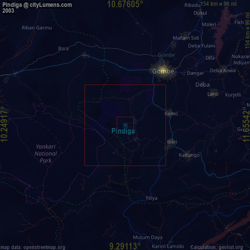
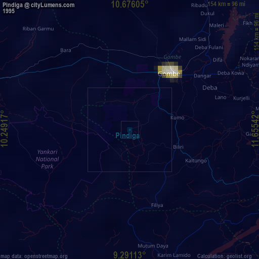
Pindiga night lights from space
Night Light of Pindiga (Gombe) from space (Nigeria) Src. Average luminocity for 10x10km area is 0% and for 50x50km: 0.0011%.
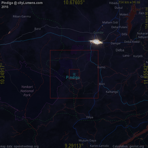
Analysis of Pindiga night lights 2016
Square area 10x10 km:
 0%
0%90-99
0%80-89
0%70-79
0%60-69
0%50-59
0%40-49
0%30-39
0%20-29
0%10-19
0%0-9
100%Square area 50x50 km:
0%90-99
0%80-89
0%70-79
0%60-69
0%50-59
0%40-49
0%30-39
0%20-29
0%10-19
0%0-9
100%Clear (daylight) street map image can be seen on geolist.org.
Map coordinates:
10° 40' 33.8" North, 10° 14' 57" East
9° 59' 3.6" North, 10° 57' 8.2" East
9° 17' 28.1" North, 11° 39' 19.5" East
Some cities around Pindiga sort by population:
• Gombe
41.3 km =25.7 mi,  34°
34°
• Kumo
29.2 km =18.1 mi,  75°
75°
• Garko
31.5 km =19.6 mi,  47°
47°
• Billiri
32.8 km =20.4 mi,  113°
113°
• Kaltungo
43.1 km =26.8 mi,  115°
115°
• Bara
49.8 km =30.9 mi,  330°
330°
• Kafarati
47 km =29.2 mi,  19°
19°
• Akko
34 km =21.1 mi,  3°
3°
2324857 (p: 106,322)
Sources (retrieved 2019-11-25):
» NASA, Earths city lights 1995
» NASA city lights 2003
» Earth at Night: Flat Maps 2012, 2016