Kafarati night lights from space
Night Light of Kafarati (Gombe) from space (Nigeria) Src. Average luminocity for 10x10km area is 0.2293% and for 50x50km: 2.1423%.
Analysis of Kafarati night lights 2016
Square area 10x10 km:
100  0%
0%
90-99 0%
80-89 0%
70-79 0%
60-69 0%
50-59 0%
40-49 0%
30-39 0%
20-29 0%
10-19 0%
0-9 100%
0%90-99
0%80-89
0%70-79
0%60-69
0%50-59
0%40-49
0%30-39
0%20-29
0%10-19
0%0-9
100%Square area 50x50 km:
100 0.48%
90-99 0.57%
80-89 0.09%
70-79 0.1%
60-69 0.15%
50-59 0.08%
40-49 0.12%
30-39 0.17%
20-29 0.29%
10-19 2.68%
0-9 95.27%
0.48%90-99
0.57%80-89
0.09%70-79
0.1%60-69
0.15%50-59
0.08%40-49
0.12%30-39
0.17%20-29
0.29%10-19
2.68%0-9
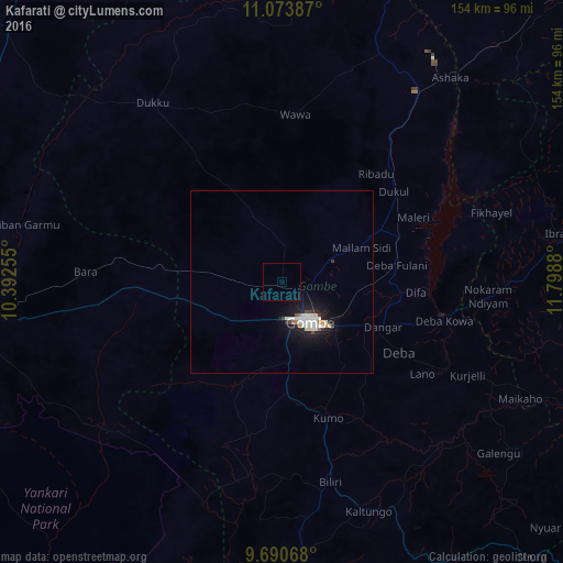
95.27%Clear (daylight) street map image can be seen on geolist.org.
Map coordinates:
11° 4' 25.9" North, 10° 23' 33.2" East
10° 22' 58.9" North, 11° 5' 44.4" East
9° 41' 26.4" North, 11° 47' 55.7" East
Some cities around Kafarati sort by population:
• Gombe
13 km =8.1 mi,  142°
142°
• Pindiga
47 km =29.2 mi,  199°
199°
• Kumo
39.3 km =24.4 mi,  161°
161°
• Garko
24.3 km =15.1 mi, 161°
• Deba
37.1 km =23.1 mi,  120°
120°
• Bara
40.1 km =24.9 mi,  268°
268°
• Hinna
45 km =28 mi,  101°
101°
• Akko
17 km =10.6 mi,  232°
232°
2335709 (p: 11,535)
Sources (retrieved 2019-11-25):
» Earth at Night: Flat Maps 2012, 2016