Billiri night lights from space
Night Light of Billiri (Gombe) from space (Nigeria) Src. Average luminocity for 10x10km area is 0% and for 50x50km: 0%.
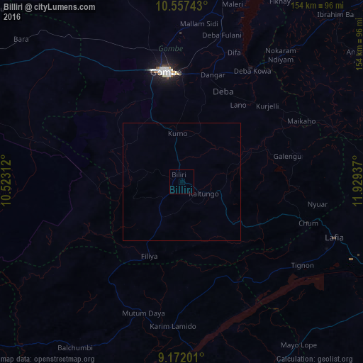
Analysis of Billiri night lights 2016
Square area 10x10 km:
100  0%
0%
90-99 0%
80-89 0%
70-79 0%
60-69 0%
50-59 0%
40-49 0%
30-39 0%
20-29 0%
10-19 0%
0-9 100%
0%90-99
0%80-89
0%70-79
0%60-69
0%50-59
0%40-49
0%30-39
0%20-29
0%10-19
0%0-9
100%Square area 50x50 km:
100 0%
90-99 0%
80-89 0%
70-79 0%
60-69 0%
50-59 0%
40-49 0%
30-39 0%
20-29 0%
10-19 0%
0-9 100%
0%90-99
0%80-89
0%70-79
0%60-69
0%50-59
0%40-49
0%30-39
0%20-29
0%10-19
0%0-9
100%Clear (daylight) street map image can be seen on geolist.org.
Map coordinates:
10° 33' 26.7" North, 10° 31' 23.2" East
9° 51' 55.6" North, 11° 13' 34.5" East
9° 10' 19.2" North, 11° 55' 45.7" East
Some cities around Billiri sort by population:
• Gombe
47.6 km =29.6 mi,  352°
352°
• Pindiga
32.8 km =20.4 mi,  293°
293°
• Kumo
20.4 km =12.7 mi,  355°
355°
• Garko
35.1 km =21.8 mi, 348°
• Deba
42.4 km =26.3 mi,  24°
24°
• Kaltungo
10.4 km =6.5 mi,  119°
119°
• Dadiya
35.8 km =22.2 mi,  140°
140°
• Akko
54.6 km =33.9 mi,  329°
329°
2347155 (p: 15,976)
Sources (retrieved 2019-11-25):
» Earth at Night: Flat Maps 2012, 2016