Kaltungo night lights from space
Night Light of Kaltungo (Gombe) from space (Nigeria) Src. Average luminocity for 10x10km area is 0% and for 50x50km: 0.0011%.
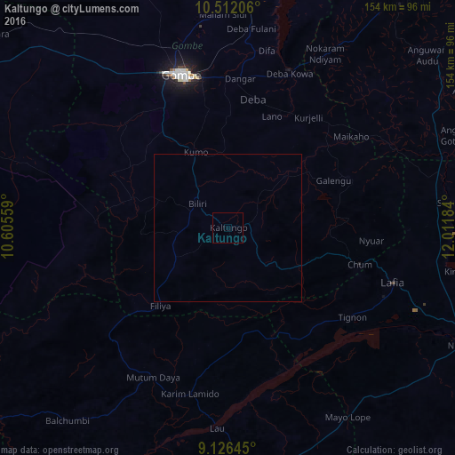
Analysis of Kaltungo night lights 2016
Square area 10x10 km:
100  0%
0%
90-99 0%
80-89 0%
70-79 0%
60-69 0%
50-59 0%
40-49 0%
30-39 0%
20-29 0%
10-19 0%
0-9 100%
0%90-99
0%80-89
0%70-79
0%60-69
0%50-59
0%40-49
0%30-39
0%20-29
0%10-19
0%0-9
100%Square area 50x50 km:
100 0%
90-99 0%
80-89 0%
70-79 0%
60-69 0%
50-59 0%
40-49 0%
30-39 0%
20-29 0%
10-19 0%
0-9 100%
0%90-99
0%80-89
0%70-79
0%60-69
0%50-59
0%40-49
0%30-39
0%20-29
0%10-19
0%0-9
100%Clear (daylight) street map image can be seen on geolist.org.
Map coordinates:
10° 30' 43.4" North, 10° 36' 20.1" East
9° 49' 11.9" North, 11° 18' 31.4" East
9° 7' 35.2" North, 12° 0' 42.6" East
Some cities around Kaltungo sort by population:
• Gombe
54.5 km =33.9 mi,  343°
343°
• Pindiga
43.1 km =26.8 mi,  295°
295°
• Kumo
27.5 km =17.1 mi, 337°
• Garko
42.5 km =26.4 mi, 338°
• Deba
44.4 km =27.6 mi,  11°
11°
• Billiri
10.4 km =6.5 mi, 299°
• Hinna
57.7 km =35.9 mi,  21°
21°
• Dadiya
26.4 km =16.4 mi,  148°
148°
2335369 (p: 12,357)
Sources (retrieved 2019-11-25):
» Earth at Night: Flat Maps 2012, 2016