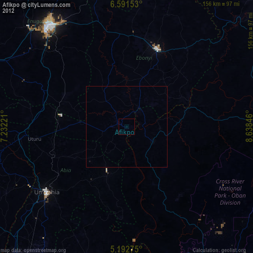
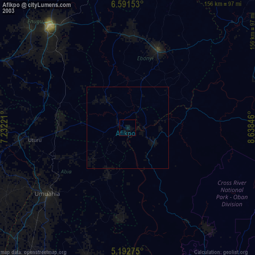
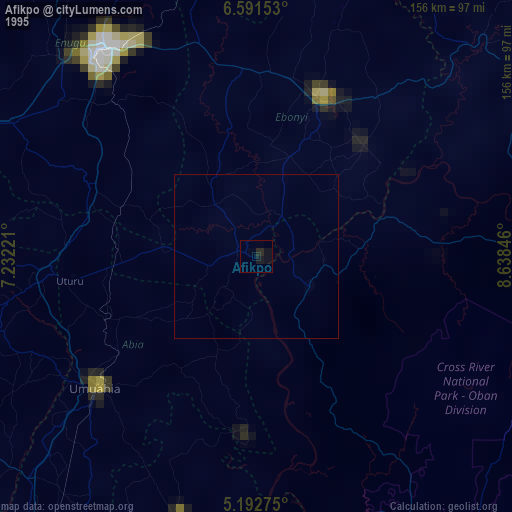
Afikpo night lights from space
Night Light of Afikpo (Ebonyi) from space (Nigeria) Src. Average luminocity for 10x10km area is 0% and for 50x50km: 0.1005%.
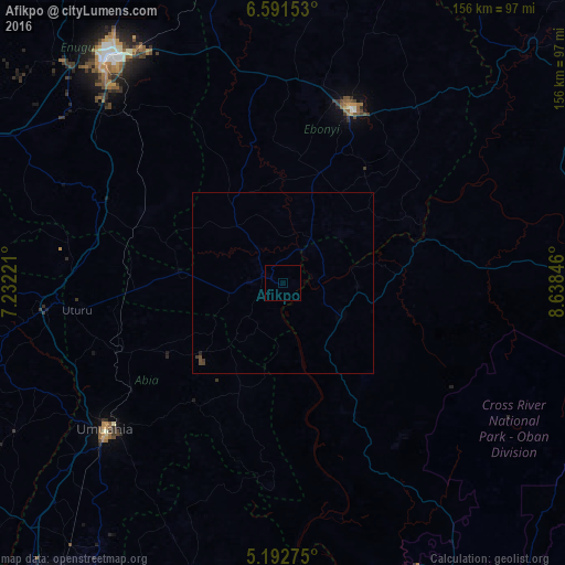
Analysis of Afikpo night lights 2016
Square area 10x10 km:
 0%
0%90-99
0%80-89
0%70-79
0%60-69
0%50-59
0%40-49
0%30-39
0%20-29
0%10-19
0%0-9
100%Square area 50x50 km:
0%90-99
0%80-89
0%70-79
0%60-69
0%50-59
0%40-49
0.13%30-39
0.08%20-29
0.03%10-19
0%0-9
99.76%Clear (daylight) street map image can be seen on geolist.org.
Map coordinates:
6° 35' 29.5" North, 7° 13' 56" East
5° 53' 33.3" North, 7° 56' 7.2" East
5° 11' 33.9" North, 8° 38' 18.5" East
Some cities around Afikpo sort by population:
• Ugep
18.6 km =11.6 mi,  120°
120°
• Abakaliki
52 km =32.3 mi,  22°
22°
• Amaigbo
15.7 km =9.8 mi,  223°
223°
• Bende
49.9 km =31 mi, 221°
• Ohafia-Ifigh
33.8 km =21 mi,  203°
203°
• Obubra
48.4 km =30.1 mi,  65°
65°
• Mberubu
46 km =28.6 mi,  312°
312°
• Ake-Eze
28.8 km =17.9 mi,  275°
275°
2352250 (p: 71,866)
Sources (retrieved 2019-11-25):
» NASA, Earths city lights 1995
» NASA city lights 2003
» Earth at Night: Flat Maps 2012, 2016