Ochobo night lights from space
Night Light of Ochobo (Benue) from space (Nigeria) Src. Average luminocity for 10x10km area is 0% and for 50x50km: 0.8722%.
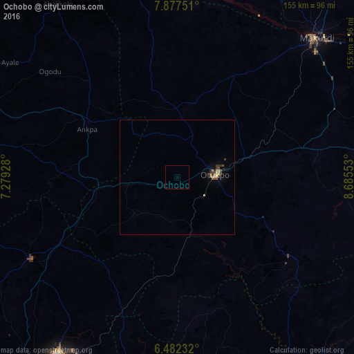
Analysis of Ochobo night lights 2016
Square area 10x10 km:
100  0%
0%
90-99 0%
80-89 0%
70-79 0%
60-69 0%
50-59 0%
40-49 0%
30-39 0%
20-29 0%
10-19 0%
0-9 100%
0%90-99
0%80-89
0%70-79
0%60-69
0%50-59
0%40-49
0%30-39
0%20-29
0%10-19
0%0-9
100%Square area 50x50 km:
100 0%
90-99 0.08%
80-89 0.2%
70-79 0.13%
60-69 0.1%
50-59 0.1%
40-49 0.16%
30-39 0.33%
20-29 0.08%
10-19 0.09%
0-9 98.74%
0%90-99
0.08%80-89
0.2%70-79
0.13%60-69
0.1%50-59
0.1%40-49
0.16%30-39
0.33%20-29
0.08%10-19
0.09%0-9
98.74%Clear (daylight) street map image can be seen on geolist.org.
Map coordinates:
7° 52' 39" North, 7° 16' 45.4" East
7° 10' 49.6" North, 7° 58' 56.6" East
6° 28' 56.4" North, 8° 41' 7.9" East
Some cities around Ochobo sort by population:
• Otukpa
36.7 km =22.8 mi,  256°
256°
• Ankpa
45.9 km =28.5 mi,  302°
302°
• Ugbokpo
53.7 km =33.4 mi,  348°
348°
• Boju
21.8 km =13.5 mi,  333°
333°
• Aliade
56.7 km =35.2 mi,  76°
76°
• Ete
59.2 km =36.8 mi, 260°
• Ikem
53.4 km =33.2 mi,  213°
213°
• Obolo-Eke (1)
50.7 km =31.5 mi,  229°
229°
2328113 (p: 8,567)
Sources (retrieved 2019-11-25):
» Earth at Night: Flat Maps 2012, 2016