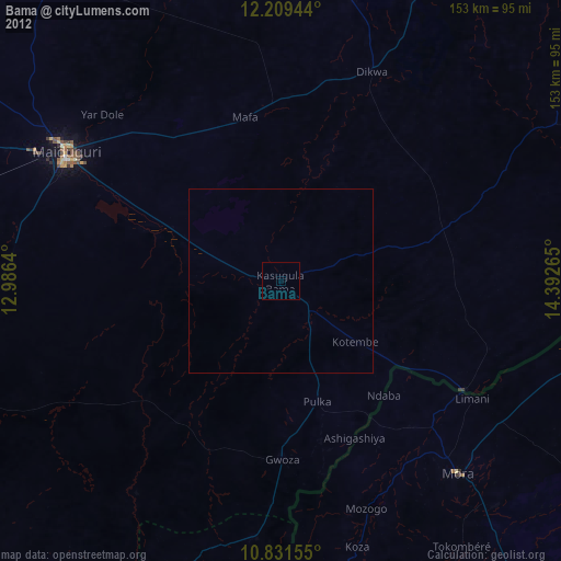
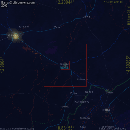
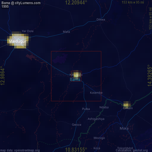
Bama night lights from space
Night Light of Bama (Borno) from space (Nigeria) Src. Average luminocity for 10x10km area is 0% and for 50x50km: 0%.
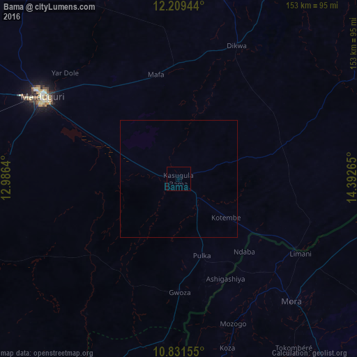
Analysis of Bama night lights 2016
Square area 10x10 km:
 0%
0%90-99
0%80-89
0%70-79
0%60-69
0%50-59
0%40-49
0%30-39
0%20-29
0%10-19
0%0-9
100%Square area 50x50 km:
0%90-99
0%80-89
0%70-79
0%60-69
0%50-59
0%40-49
0%30-39
0%20-29
0%10-19
0%0-9
100%Clear (daylight) street map image can be seen on geolist.org.
Map coordinates:
12° 12' 34" North, 12° 59' 11" East
11° 31' 16.8" North, 13° 41' 22.3" East
10° 49' 53.6" North, 14° 23' 33.5" East
Some cities around Bama sort by population:
• Maiduguri
68.3 km =42.4 mi,  301°
301°
• Mokolo, CM
87.5 km =54.4 mi,  171°
171°
• Mora, CM
72.2 km =44.9 mi,  137°
137°
• Dikwa
62.4 km =38.8 mi,  23°
23°
• Gwoza
48.7 km =30.3 mi,  179°
179°
• Konduga
33 km =20.5 mi, 296°
• Madagali
70.6 km =43.9 mi,  185°
185°
• Tokombere
39.9 km =24.8 mi,  213°
213°
2347954 (p: 118,121)
Sources (retrieved 2019-11-25):
» NASA, Earths city lights 1995
» NASA city lights 2003
» Earth at Night: Flat Maps 2012, 2016