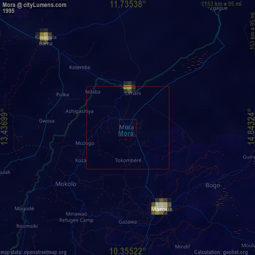
Mora night lights from space
Night Light of Mora (Far North) from space (Cameroon) Src. Average luminocity for 10x10km area is 0.2554% and for 50x50km: 0.01%.
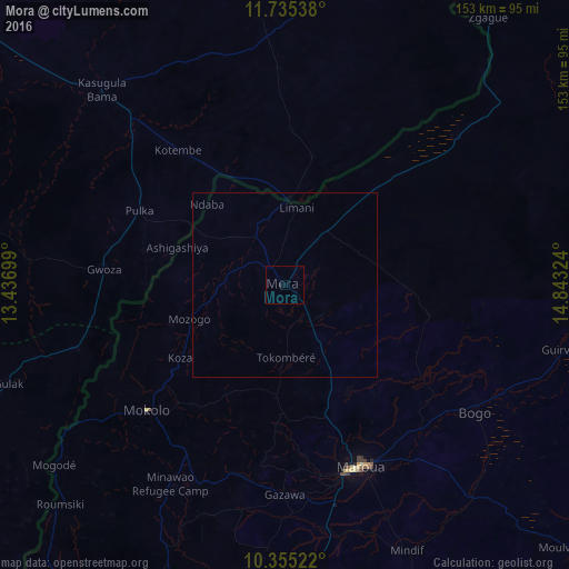
Analysis of Mora night lights 2016
Square area 10x10 km:
 0%
0%90-99
0%80-89
0%70-79
0%60-69
0%50-59
0%40-49
0%30-39
0%20-29
0.87%10-19
0%0-9
99.13%Square area 50x50 km:
0%90-99
0%80-89
0%70-79
0%60-69
0%50-59
0%40-49
0%30-39
0%20-29
0.03%10-19
0%0-9
99.97%Clear (daylight) street map image can be seen on geolist.org.
Map coordinates:
11° 44' 7.4" North, 13° 26' 13.2" East
11° 2' 46" North, 14° 8' 24.4" East
10° 21' 18.8" North, 14° 50' 35.7" East
Some cities around Mora sort by population:
• Maroua
54.1 km =33.6 mi,  159°
159°
• Mokolo
50 km =31.1 mi,  227°
227°
• Bama, NG
72.2 km =44.9 mi,  317°
317°
• Bogo
61.9 km =38.5 mi,  124°
124°
• Gwoza, NG
48.6 km =30.2 mi,  274°
274°
• Madagali, NG
58.5 km =36.4 mi,  252°
252°
• Mindif
79 km =49.1 mi, 155°
• Tokombere, NG
73.8 km =45.9 mi,  285°
285°
2225991 (p: 55,216)
Sources (retrieved 2019-11-25):
» NASA, Earths city lights 1995
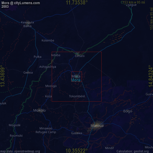
» NASA city lights 2003
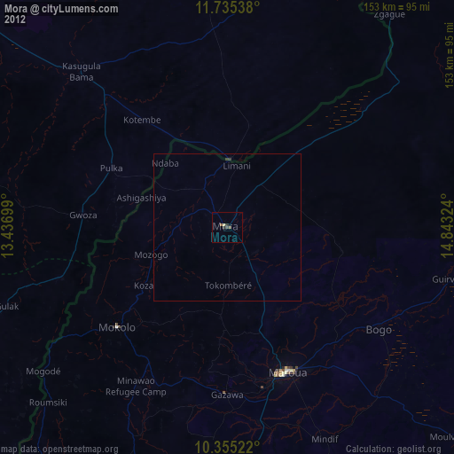
» Earth at Night: Flat Maps 2012, 2016