Lau night lights from space
Night Light of Lau (Taraba) from space (Nigeria) Src. Average luminocity for 10x10km area is 0% and for 50x50km: 0.0138%.
Analysis of Lau night lights 2016
Square area 10x10 km:
100  0%
0%
90-99 0%
80-89 0%
70-79 0%
60-69 0%
50-59 0%
40-49 0%
30-39 0%
20-29 0%
10-19 0%
0-9 100%
0%90-99
0%80-89
0%70-79
0%60-69
0%50-59
0%40-49
0%30-39
0%20-29
0%10-19
0%0-9
100%Square area 50x50 km:
100 0%
90-99 0%
80-89 0%
70-79 0%
60-69 0%
50-59 0%
40-49 0%
30-39 0%
20-29 0.03%
10-19 0%
0-9 99.97%
0%90-99
0%80-89
0%70-79
0%60-69
0%50-59
0%40-49
0%30-39
0%20-29
0.03%10-19
0%0-9
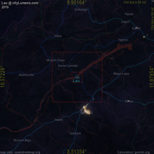
99.97%Clear (daylight) street map image can be seen on geolist.org.
Map coordinates:
9° 54' 5.9" North, 10° 34' 20.2" East
9° 12' 29.8" North, 11° 16' 31.5" East
8° 30' 48.7" North, 11° 58' 42.7" East
Some cities around Lau sort by population:
• Jalingo
36.2 km =22.5 mi,  165°
165°
• Pindiga
93.3 km =58 mi,  337°
337°
• Numan
87.6 km =54.4 mi,  71°
71°
• Billiri
73.3 km =45.5 mi,  355°
355°
• Kaltungo
68.1 km =42.3 mi,  3°
3°
• Mutum Biyu
83.7 km =52 mi,  221°
221°
• Dadiya
48.6 km =30.2 mi,  20°
20°
• Mayo-Belwa
87.6 km =54.4 mi,  101°
101°
2332197 (p: 12,657)
Sources (retrieved 2019-11-25):
» Earth at Night: Flat Maps 2012, 2016