Jalingo night lights from space
Night Light of Jalingo (Taraba) from space (Nigeria) Src. Average luminocity for 10x10km area is 25.7251% and for 50x50km: 1.3198%.
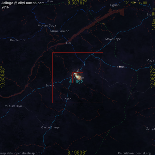
Analysis of Jalingo night lights 2016
Square area 10x10 km:
 0%
0%90-99
2.81%80-89
4.55%70-79
3.25%60-69
6.93%50-59
3.46%40-49
8.44%30-39
3.46%20-29
3.03%10-19
15.8%0-9
48.27%Square area 50x50 km:
0%90-99
0.11%80-89
0.18%70-79
0.16%60-69
0.28%50-59
0.2%40-49
0.44%30-39
0.21%20-29
0.2%10-19
0.74%0-9
97.48%Clear (daylight) street map image can be seen on geolist.org.
Map coordinates:
9° 35' 15.6" North, 10° 39' 23.3" East
8° 53' 37.2" North, 11° 21' 34.6" East
8° 11' 54.1" North, 12° 3' 45.8" East
Some cities around Jalingo sort by population:
• Numan
97.2 km =60.4 mi,  49°
49°
• Ganye
91.5 km =56.9 mi,  123°
123°
• Lau
36.2 km =22.5 mi,  345°
345°
• Kaltungo
103.1 km =64.1 mi,  356°
356°
• Mutum Biyu
70.2 km =43.6 mi,  246°
246°
• Ngurore
106.2 km =66 mi,  65°
65°
• Dadiya
80.8 km =50.2 mi,  5°
5°
• Mayo-Belwa
78.7 km =48.9 mi,  76°
76°
2336589 (p: 117,757)
Sources (retrieved 2019-11-25):
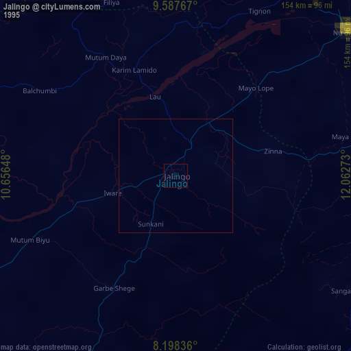
» NASA, Earths city lights 1995
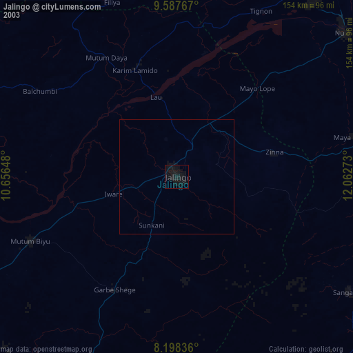
» NASA city lights 2003
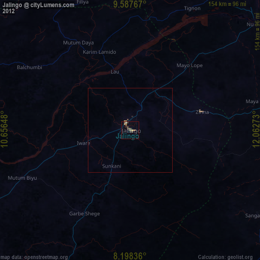
» Earth at Night: Flat Maps 2012, 2016