Mutum Biyu night lights from space
Night Light of Mutum Biyu (Taraba) from space (Nigeria) Src. Average luminocity for 10x10km area is 0% and for 50x50km: 0%.
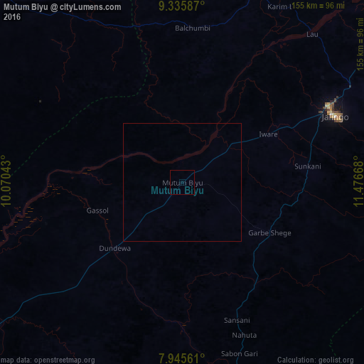
Analysis of Mutum Biyu night lights 2016
Square area 10x10 km:
100  0%
0%
90-99 0%
80-89 0%
70-79 0%
60-69 0%
50-59 0%
40-49 0%
30-39 0%
20-29 0%
10-19 0%
0-9 100%
0%90-99
0%80-89
0%70-79
0%60-69
0%50-59
0%40-49
0%30-39
0%20-29
0%10-19
0%0-9
100%Square area 50x50 km:
100 0%
90-99 0%
80-89 0%
70-79 0%
60-69 0%
50-59 0%
40-49 0%
30-39 0%
20-29 0%
10-19 0%
0-9 100%
0%90-99
0%80-89
0%70-79
0%60-69
0%50-59
0%40-49
0%30-39
0%20-29
0%10-19
0%0-9
100%Clear (daylight) street map image can be seen on geolist.org.
Map coordinates:
9° 20' 9.1" North, 10° 4' 13.5" East
8° 38' 29" North, 10° 46' 24.8" East
7° 56' 44.2" North, 11° 28' 36" East
Some cities around Mutum Biyu sort by population:
• Jalingo
70.2 km =43.6 mi,  66°
66°
• Ibi
124.2 km =77.2 mi,  245°
245°
• Beli
89.7 km =55.7 mi,  165°
165°
• Gassol
37.9 km =23.5 mi, 251°
• Yelwa
127.1 km =79 mi,  279°
279°
• Langtang
121.4 km =75.4 mi,  297°
297°
• Lau
83.7 km =52 mi,  41°
41°
• Dengi
120.3 km =74.8 mi,  312°
312°
2329639 (p: 11,702)
Sources (retrieved 2019-11-25):
» Earth at Night: Flat Maps 2012, 2016