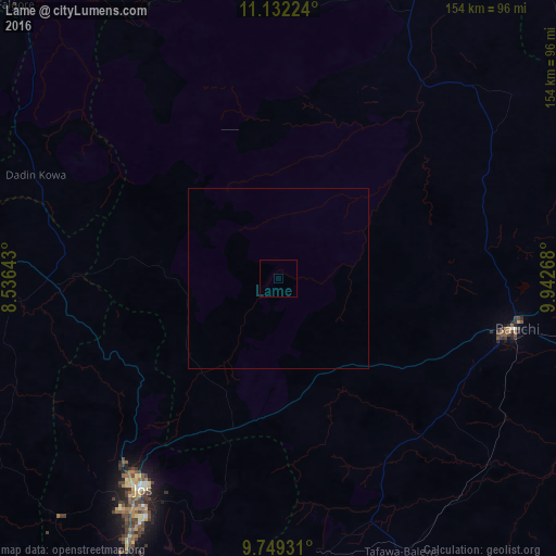
Lame night lights from space
Night Light of Lame (Bauchi) from space (Nigeria) Src. Average luminocity for 10x10km area is 0% and for 50x50km: 0%.
Analysis of Lame night lights 2016
Square area 10x10 km:
100  0%
0%
90-99 0%
80-89 0%
70-79 0%
60-69 0%
50-59 0%
40-49 0%
30-39 0%
20-29 0%
10-19 0%
0-9 100%
0%90-99
0%80-89
0%70-79
0%60-69
0%50-59
0%40-49
0%30-39
0%20-29
0%10-19
0%0-9
100%Square area 50x50 km:
100 0%
90-99 0%
80-89 0%
70-79 0%
60-69 0%
50-59 0%
40-49 0%
30-39 0%
20-29 0%
10-19 0%
0-9 100%
0%90-99
0%80-89
0%70-79
0%60-69
0%50-59
0%40-49
0%30-39
0%20-29
0%10-19
0%0-9
100%Clear (daylight) street map image can be seen on geolist.org.
Map coordinates:
11° 7' 56.1" North, 8° 32' 11.1" East
10° 26' 29.5" North, 9° 14' 22.4" East
9° 44' 57.5" North, 9° 56' 33.6" East
Some cities around Lame sort by population:
• Jos
68.6 km =42.6 mi,  213°
213°
• Bauchi
67.7 km =42.1 mi,  102°
102°
• Lere
73.2 km =45.5 mi,  265°
265°
• Lere
82 km =51 mi,  172°
172°
• Dass
57.6 km =35.8 mi,  148°
148°
• Saminaka
60.5 km =37.6 mi, 266°
• Yamrat
73.9 km =45.9 mi,  119°
119°
• Bununu
78.7 km =48.9 mi,  142°
142°
2332337 (p: 6,705)
Sources (retrieved 2019-11-25):
» Earth at Night: Flat Maps 2012, 2016