Bununu night lights from space
Night Light of Bununu (Bauchi) from space (Nigeria) Src. Average luminocity for 10x10km area is 0% and for 50x50km: 0%.
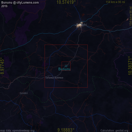
Analysis of Bununu night lights 2016
Square area 10x10 km:
100  0%
0%
90-99 0%
80-89 0%
70-79 0%
60-69 0%
50-59 0%
40-49 0%
30-39 0%
20-29 0%
10-19 0%
0-9 100%
0%90-99
0%80-89
0%70-79
0%60-69
0%50-59
0%40-49
0%30-39
0%20-29
0%10-19
0%0-9
100%Square area 50x50 km:
100 0%
90-99 0%
80-89 0%
70-79 0%
60-69 0%
50-59 0%
40-49 0%
30-39 0%
20-29 0%
10-19 0%
0-9 100%
0%90-99
0%80-89
0%70-79
0%60-69
0%50-59
0%40-49
0%30-39
0%20-29
0%10-19
0%0-9
100%Clear (daylight) street map image can be seen on geolist.org.
Map coordinates:
10° 34' 27.1" North, 8° 58' 38.8" East
9° 52' 56.1" North, 9° 40' 50.1" East
9° 11' 19.8" North, 10° 23' 1.4" East
Some cities around Bununu sort by population:
• Bauchi
50.8 km =31.6 mi,  20°
20°
• Lere
41.9 km =26 mi,  242°
242°
• Dindima
64.2 km =39.9 mi,  53°
53°
• Amper
58.7 km =36.5 mi,  177°
177°
• Dass
22.3 km =13.9 mi,  306°
306°
• Yamrat
30.1 km =18.7 mi,  31°
31°
• Dengi
64.9 km =40.3 mi,  151°
151°
• Boi
40.7 km =25.3 mi,  208°
208°
2346399 (p: 6,123)
Sources (retrieved 2019-11-25):
» Earth at Night: Flat Maps 2012, 2016