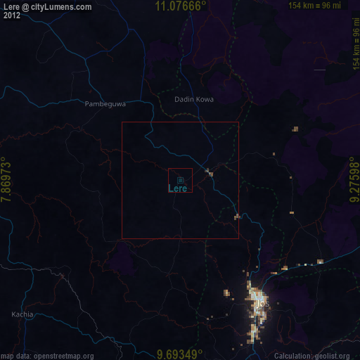
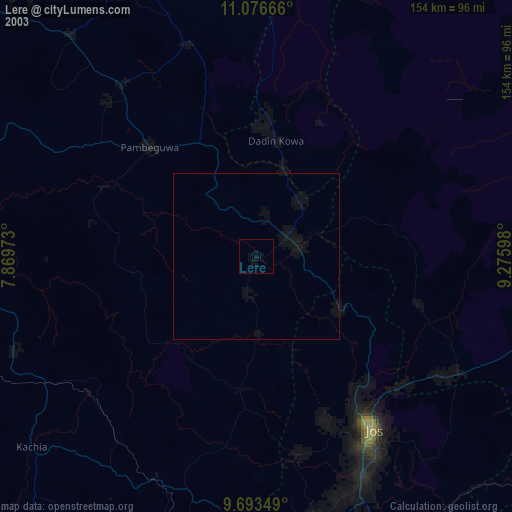
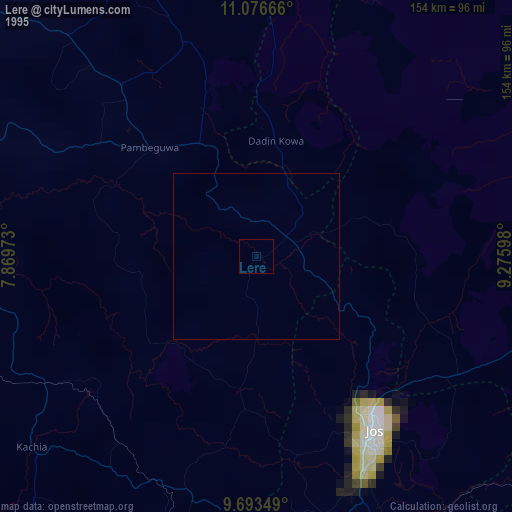
Lere night lights from space
Night Light of Lere (Kaduna) from space (Nigeria) Src. Average luminocity for 10x10km area is 0% and for 50x50km: 0%.
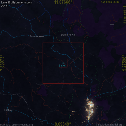
Analysis of Lere night lights 2016
Square area 10x10 km:
 0%
0%90-99
0%80-89
0%70-79
0%60-69
0%50-59
0%40-49
0%30-39
0%20-29
0%10-19
0%0-9
100%Square area 50x50 km:
0%90-99
0%80-89
0%70-79
0%60-69
0%50-59
0%40-49
0%30-39
0%20-29
0%10-19
0%0-9
100%Clear (daylight) street map image can be seen on geolist.org.
Map coordinates:
11° 4' 36" North, 7° 52' 11" East
10° 23' 9" North, 8° 34' 22.3" East
9° 41' 36.6" North, 9° 16' 33.5" East
Some cities around Lere sort by population:
• Jos
61.7 km =38.3 mi,  145°
145°
• Dutsen Wai
65.8 km =40.9 mi,  321°
321°
• Soba
86.9 km =54 mi, 319°
• Bukuru
73.1 km =45.4 mi, 154°
• Anchau
67.1 km =41.7 mi,  342°
342°
• Vom
76.8 km =47.7 mi,  161°
161°
• Saminaka
12.9 km =8 mi,  76°
76°
• Lame
73.2 km =45.5 mi,  85°
85°
2332079 (p: 93,290)
Sources (retrieved 2019-11-25):
» NASA, Earths city lights 1995
» NASA city lights 2003
» Earth at Night: Flat Maps 2012, 2016