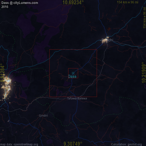
Dass night lights from space
Night Light of Dass (Bauchi) from space (Nigeria) Src. Average luminocity for 10x10km area is 0% and for 50x50km: 0%.
Analysis of Dass night lights 2016
Square area 10x10 km:
100  0%
0%
90-99 0%
80-89 0%
70-79 0%
60-69 0%
50-59 0%
40-49 0%
30-39 0%
20-29 0%
10-19 0%
0-9 100%
0%90-99
0%80-89
0%70-79
0%60-69
0%50-59
0%40-49
0%30-39
0%20-29
0%10-19
0%0-9
100%Square area 50x50 km:
100 0%
90-99 0%
80-89 0%
70-79 0%
60-69 0%
50-59 0%
40-49 0%
30-39 0%
20-29 0%
10-19 0%
0-9 100%
0%90-99
0%80-89
0%70-79
0%60-69
0%50-59
0%40-49
0%30-39
0%20-29
0%10-19
0%0-9
100%Clear (daylight) street map image can be seen on geolist.org.
Map coordinates:
10° 41' 32.4" North, 8° 48' 46.2" East
10° 0' 2.3" North, 9° 30' 57.5" East
9° 18' 27" North, 10° 13' 8.7" East
Some cities around Dass sort by population:
• Jos
68.8 km =42.8 mi,  263°
263°
• Bauchi
49.7 km =30.9 mi,  46°
46°
• Lere
37.6 km =23.4 mi,  210°
210°
• Panyam
73.7 km =45.8 mi, 206°
• Yamrat
36.1 km =22.4 mi,  70°
70°
• Lame
57.6 km =35.8 mi,  328°
328°
• Bununu
22.3 km =13.9 mi,  126°
126°
• Boi
48.9 km =30.4 mi,  181°
181°
2346401 (p: 7,417)
Sources (retrieved 2019-11-25):
» Earth at Night: Flat Maps 2012, 2016