Bauchi night lights from space
Night Light of Bauchi from space (Nigeria) Src. Average luminocity for 10x10km area is 14.6674% and for 50x50km: 0.6798%.
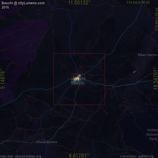
Analysis of Bauchi night lights 2016
Square area 10x10 km:
 0%
0%90-99
1.45%80-89
0.21%70-79
2.07%60-69
3.51%50-59
2.69%40-49
2.89%30-39
7.85%20-29
4.34%10-19
3.93%0-9
71.07%Square area 50x50 km:
0%90-99
0.06%80-89
0.01%70-79
0.08%60-69
0.14%50-59
0.13%40-49
0.13%30-39
0.35%20-29
0.23%10-19
0.16%0-9
98.72%Clear (daylight) street map image can be seen on geolist.org.
Map coordinates:
11° 0' 4.8" North, 9° 8' 26.7" East
10° 18' 37.2" North, 9° 50' 38" East
9° 37' 4.1" North, 10° 32' 49.2" East
Some cities around Bauchi sort by population:
• Dindima
34.9 km =21.7 mi,  105°
105°
• Zalanga
49.6 km =30.8 mi,  47°
47°
• Yuli
82.8 km =51.4 mi,  145°
145°
• Dass
49.7 km =30.9 mi,  226°
226°
• Yamrat
22.2 km =13.8 mi,  185°
185°
• Lame
67.7 km =42.1 mi,  282°
282°
• Gwaram
49.1 km =30.5 mi,  100°
100°
• Bununu
50.8 km =31.6 mi,  200°
200°
2347470 (p: 316,149)
Sources (retrieved 2019-11-25):
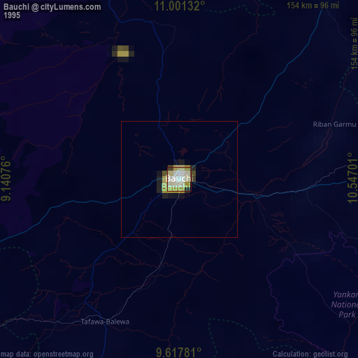
» NASA, Earths city lights 1995
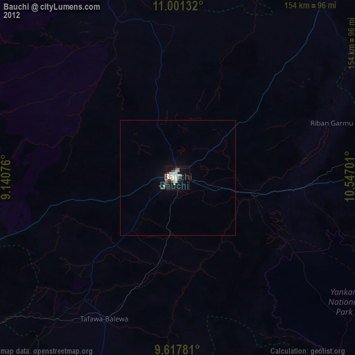
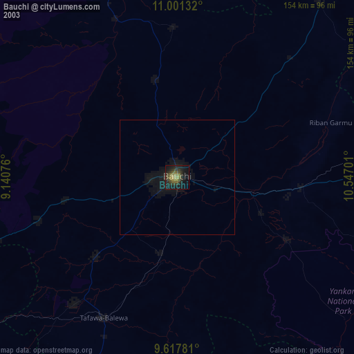
» NASA city lights 2003
» Earth at Night: Flat Maps 2012, 2016