Lajere night lights from space
Night Light of Lajere (Yobe) from space (Nigeria) Src. Average luminocity for 10x10km area is 0% and for 50x50km: 0%.
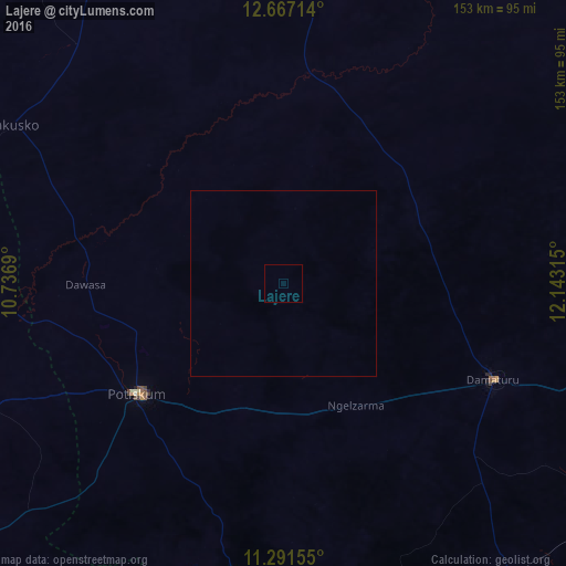
Analysis of Lajere night lights 2016
Square area 10x10 km:
 0%
0%90-99
0%80-89
0%70-79
0%60-69
0%50-59
0%40-49
0%30-39
0%20-29
0%10-19
0%0-9
100%Square area 50x50 km:
0%90-99
0%80-89
0%70-79
0%60-69
0%50-59
0%40-49
0%30-39
0%20-29
0%10-19
0%0-9
100%Clear (daylight) street map image can be seen on geolist.org.
Map coordinates:
12° 40' 1.7" North, 10° 44' 12.8" East
11° 58' 48.8" North, 11° 26' 24.1" East
11° 17' 29.6" North, 12° 8' 35.3" East
Some cities around Lajere sort by population:
• Potiskum
49 km =30.4 mi,  232°
232°
• Daura
47.5 km =29.5 mi,  184°
184°
• Damaturu
62.3 km =38.7 mi,  114°
114°
• Dapchi
57.6 km =35.8 mi,  6°
6°
• Gujba
75.8 km =47.1 mi,  134°
134°
• Gwio Kura
87.2 km =54.2 mi,  332°
332°
• Yanda Bayo
92.1 km =57.2 mi,  235°
235°
• Dankalwa
85.2 km =52.9 mi, 107°
2336624 (p: 7,356)
Sources (retrieved 2019-11-25):
» Earth at Night: Flat Maps 2012, 2016