Yanda Bayo night lights from space
Night Light of Yanda Bayo (Bauchi) from space (Nigeria) Src. Average luminocity for 10x10km area is 0% and for 50x50km: 0%.
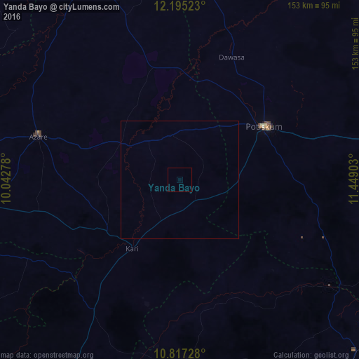
Analysis of Yanda Bayo night lights 2016
Square area 10x10 km:
100  0%
0%
90-99 0%
80-89 0%
70-79 0%
60-69 0%
50-59 0%
40-49 0%
30-39 0%
20-29 0%
10-19 0%
0-9 100%
0%90-99
0%80-89
0%70-79
0%60-69
0%50-59
0%40-49
0%30-39
0%20-29
0%10-19
0%0-9
100%Square area 50x50 km:
100 0%
90-99 0%
80-89 0%
70-79 0%
60-69 0%
50-59 0%
40-49 0%
30-39 0%
20-29 0%
10-19 0%
0-9 100%
0%90-99
0%80-89
0%70-79
0%60-69
0%50-59
0%40-49
0%30-39
0%20-29
0%10-19
0%0-9
100%Clear (daylight) street map image can be seen on geolist.org.
Map coordinates:
12° 11' 42.8" North, 10° 2' 34" East
11° 30' 25.6" North, 10° 44' 45.2" East
10° 49' 2.2" North, 11° 26' 56.5" East
Some cities around Yanda Bayo sort by population:
• Azare
63.3 km =39.3 mi,  287°
287°
• Potiskum
43.1 km =26.8 mi,  57°
57°
• Kari
35.2 km =21.9 mi,  214°
214°
• Misau
37.3 km =23.2 mi,  234°
234°
• Gabarin
55.1 km =34.2 mi,  216°
216°
• Madara
44.4 km =27.6 mi,  313°
313°
• Sade
18.2 km =11.3 mi, 205°
• Zadawa
41.8 km =26 mi,  261°
261°
2318383 (p: 5,927)
Sources (retrieved 2019-11-25):
» Earth at Night: Flat Maps 2012, 2016