Daura night lights from space
Night Light of Daura (Yobe) from space (Nigeria) Src. Average luminocity for 10x10km area is 0% and for 50x50km: 0%.
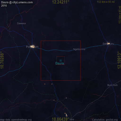
Analysis of Daura night lights 2016
Square area 10x10 km:
 0%
0%90-99
0%80-89
0%70-79
0%60-69
0%50-59
0%40-49
0%30-39
0%20-29
0%10-19
0%0-9
100%Square area 50x50 km:
0%90-99
0%80-89
0%70-79
0%60-69
0%50-59
0%40-49
0%30-39
0%20-29
0%10-19
0%0-9
100%Clear (daylight) street map image can be seen on geolist.org.
Map coordinates:
12° 14' 31.6" North, 10° 42' 10.4" East
11° 33' 14.8" North, 11° 24' 21.6" East
10° 51' 51.8" North, 12° 6' 32.9" East
Some cities around Daura sort by population:
• Potiskum
39.6 km =24.6 mi,  296°
296°
• Damaturu
64.1 km =39.8 mi,  70°
70°
• Nafada
51.6 km =32.1 mi,  188°
188°
• Gujba
57.8 km =35.9 mi,  96°
96°
• Sade
82.7 km =51.4 mi,  254°
254°
• Lajere
47.5 km =29.5 mi,  4°
4°
• Yanda Bayo
72.1 km =44.8 mi,  265°
265°
• Dankalwa
87.5 km =54.4 mi,  75°
75°
2345096 (p: 78,277)
Sources (retrieved 2019-11-25):
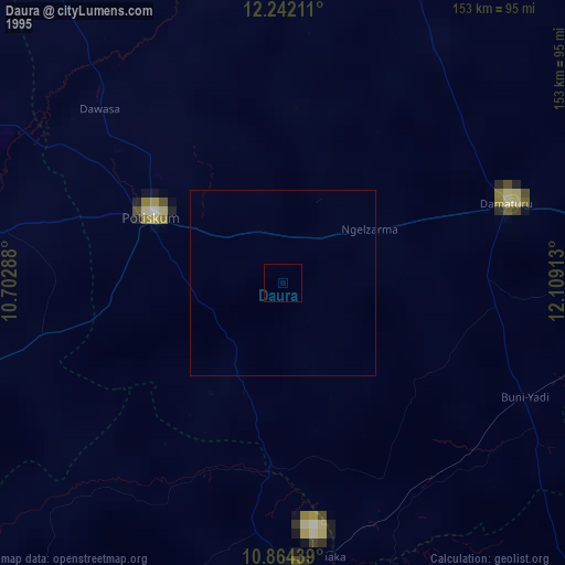
» NASA, Earths city lights 1995
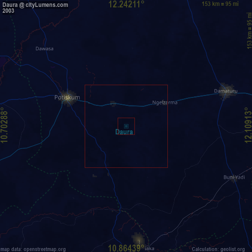
» NASA city lights 2003
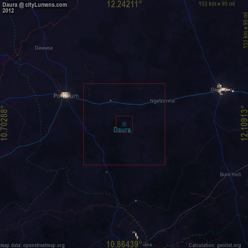
» Earth at Night: Flat Maps 2012, 2016