Damaturu night lights from space
Night Light of Damaturu (Yobe) from space (Nigeria) Src. Average luminocity for 10x10km area is 4.4442% and for 50x50km: 0.1812%.
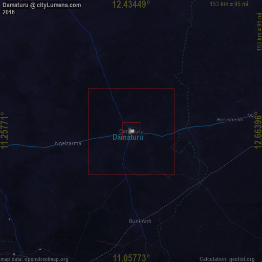
Analysis of Damaturu night lights 2016
Square area 10x10 km:
 0%
0%90-99
0%80-89
0%70-79
1.24%60-69
1.45%50-59
1.45%40-49
0.83%30-39
0.83%20-29
1.03%10-19
2.27%0-9
90.91%Square area 50x50 km:
0%90-99
0%80-89
0%70-79
0.05%60-69
0.06%50-59
0.06%40-49
0.03%30-39
0.03%20-29
0.04%10-19
0.09%0-9
99.63%Clear (daylight) street map image can be seen on geolist.org.
Map coordinates:
12° 26' 4.2" North, 11° 15' 27.8" East
11° 44' 49.1" North, 11° 57' 39" East
11° 3' 27.8" North, 12° 39' 50.3" East
Some cities around Damaturu sort by population:
• Daura
64.1 km =39.8 mi,  250°
250°
• Goniri
48.2 km =30 mi,  127°
127°
• Gujba
27.7 km =17.2 mi,  186°
186°
• Benisheikh
58.2 km =36.2 mi,  83°
83°
• Lajere
62.3 km =38.7 mi,  294°
294°
• Yajiwa
91.9 km =57.1 mi,  115°
115°
• Bornu Yassu
88.4 km =54.9 mi,  48°
48°
• Dankalwa
24.5 km =15.2 mi,  90°
90°
2345521 (p: 46,000)
Sources (retrieved 2019-11-25):
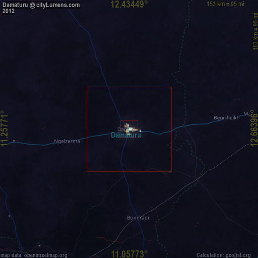
» Earth at Night: Flat Maps 2012, 2016