Bokkos night lights from space
Night Light of Bokkos (Plateau) from space (Nigeria) Src. Average luminocity for 10x10km area is 0% and for 50x50km: 0.0167%.
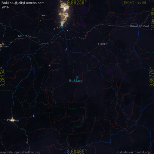
Analysis of Bokkos night lights 2016
Square area 10x10 km:
100  0%
0%
90-99 0%
80-89 0%
70-79 0%
60-69 0%
50-59 0%
40-49 0%
30-39 0%
20-29 0%
10-19 0%
0-9 100%
0%90-99
0%80-89
0%70-79
0%60-69
0%50-59
0%40-49
0%30-39
0%20-29
0%10-19
0%0-9
100%Square area 50x50 km:
100 0%
90-99 0%
80-89 0%
70-79 0%
60-69 0%
50-59 0%
40-49 0%
30-39 0.03%
20-29 0%
10-19 0.03%
0-9 99.93%
0%90-99
0%80-89
0%70-79
0%60-69
0%50-59
0%40-49
0%30-39
0.03%20-29
0%10-19
0.03%0-9
99.93%Clear (daylight) street map image can be seen on geolist.org.
Map coordinates:
9° 59' 32.6" North, 8° 17' 29.5" East
9° 17' 57.2" North, 8° 59' 40.8" East
8° 36' 16.7" North, 9° 41' 52" East
Some cities around Bokkos sort by population:
• Pankshin
48.4 km =30.1 mi,  86°
86°
• Wamba
58.6 km =36.4 mi,  227°
227°
• Bukuru
56.9 km =35.4 mi,  345°
345°
• Lere
59.4 km =36.9 mi,  39°
39°
• Vom
52.7 km =32.7 mi,  334°
334°
• Panyam
27 km =16.8 mi,  63°
63°
• Kwolla
54.7 km =34 mi,  143°
143°
• Boi
62.8 km =39 mi, 62°
2346887 (p: 12,538)
Sources (retrieved 2019-11-25):
» Earth at Night: Flat Maps 2012, 2016