Ruma night lights from space
Night Light of Ruma (Katsina) from space (Nigeria) Src. Average luminocity for 10x10km area is 0% and for 50x50km: 0.0257%.
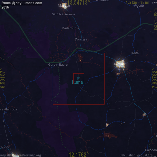
Analysis of Ruma night lights 2016
Square area 10x10 km:
 0%
0%90-99
0%80-89
0%70-79
0%60-69
0%50-59
0%40-49
0%30-39
0%20-29
0%10-19
0%0-9
100%Square area 50x50 km:
0%90-99
0%80-89
0%70-79
0%60-69
0%50-59
0%40-49
0.03%30-39
0%20-29
0%10-19
0.03%0-9
99.93%Clear (daylight) street map image can be seen on geolist.org.
Map coordinates:
13° 32' 49.7" North, 6° 31' 53.7" East
12° 51' 45.4" North, 7° 14' 4.9" East
12° 10' 34.3" North, 7° 56' 16.2" East
Some cities around Ruma sort by population:
• Katsina
42.3 km =26.3 mi,  70°
70°
• Maradi, NE
72.3 km =44.9 mi,  348°
348°
• Jibia
25.7 km =16 mi,  357°
357°
• Runka
46.8 km =29.1 mi,  170°
170°
• Dutsin-Ma
53.6 km =33.3 mi,  147°
147°
• Wagini
19.9 km =12.4 mi,  192°
192°
• Madarounfa, NE
50.3 km =31.3 mi, 350°
• Batsari
12 km =7.5 mi, 173°
2324325 (p: 8,857)
Sources (retrieved 2019-11-25):
» Earth at Night: Flat Maps 2012, 2016