Kangiwa night lights from space
Night Light of Kangiwa (Kebbi) from space (Nigeria) Src. Average luminocity for 10x10km area is 0% and for 50x50km: 0%.
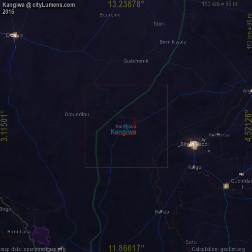
Analysis of Kangiwa night lights 2016
Square area 10x10 km:
100  0%
0%
90-99 0%
80-89 0%
70-79 0%
60-69 0%
50-59 0%
40-49 0%
30-39 0%
20-29 0%
10-19 0%
0-9 100%
0%90-99
0%80-89
0%70-79
0%60-69
0%50-59
0%40-49
0%30-39
0%20-29
0%10-19
0%0-9
100%Square area 50x50 km:
100 0%
90-99 0%
80-89 0%
70-79 0%
60-69 0%
50-59 0%
40-49 0%
30-39 0%
20-29 0%
10-19 0%
0-9 100%
0%90-99
0%80-89
0%70-79
0%60-69
0%50-59
0%40-49
0%30-39
0%20-29
0%10-19
0%0-9
100%Clear (daylight) street map image can be seen on geolist.org.
Map coordinates:
13° 14' 19.6" North, 3° 6' 54" East
12° 33' 12.2" North, 3° 49' 5.3" East
11° 51' 58.2" North, 4° 31' 16.5" East
Some cities around Kangiwa sort by population:
• Birnin Kebbi
42.6 km =26.5 mi,  105°
105°
• Jega
71.2 km =44.2 mi,  121°
121°
• Dosso, NE
87.3 km =54.2 mi,  309°
309°
• Argungu
79.6 km =49.5 mi,  74°
74°
• Gaya, NE
84.5 km =52.5 mi,  208°
208°
• Kamba
80 km =49.7 mi,  192°
192°
• Maiyama
79.5 km =49.4 mi,  131°
131°
• Gulma
59.1 km =36.7 mi,  80°
80°
2335568 (p: 11,701)
Sources (retrieved 2019-11-25):
» Earth at Night: Flat Maps 2012, 2016