Dosso night lights from space
Night Light of Dosso from space (Niger) Src. Average luminocity for 10x10km area is 8.8636% and for 50x50km: 0.3582%.

Analysis of Dosso night lights 2016
Square area 10x10 km:
 0%
0%90-99
0%80-89
2.38%70-79
1.95%60-69
1.73%50-59
0.22%40-49
3.25%30-39
2.6%20-29
1.73%10-19
0.87%0-9
85.28%Square area 50x50 km:
0%90-99
0%80-89
0.09%70-79
0.08%60-69
0.07%50-59
0.01%40-49
0.13%30-39
0.1%20-29
0.07%10-19
0.03%0-9
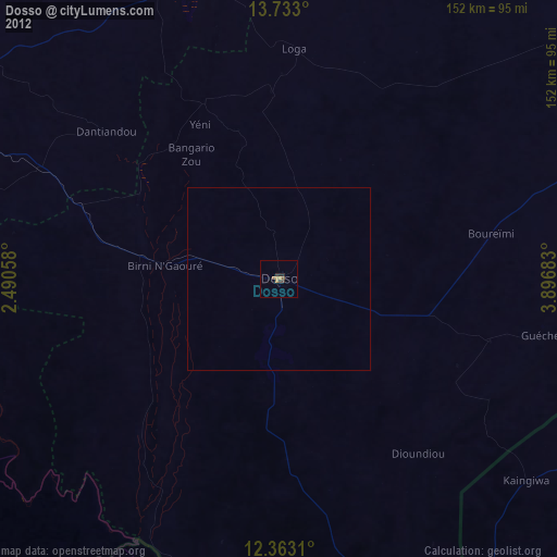
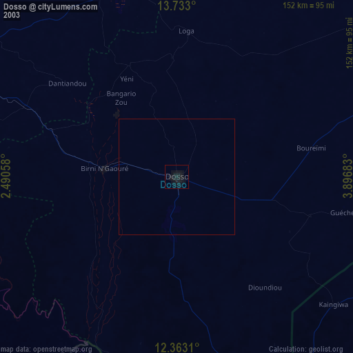
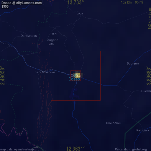
99.42%Clear (daylight) street map image can be seen on geolist.org.
Map coordinates:
13° 43' 58.8" North, 2° 29' 26.1" East
13° 2' 56.4" North, 3° 11' 37.3" East
12° 21' 47.2" North, 3° 53' 48.6" East
Some cities around Dosso sort by population:
• Niamey
128.2 km =79.7 mi,  293°
293°
• Birnin Kebbi, NG
127.4 km =79.2 mi,  121°
121°
• Malanville, BJ
132.9 km =82.6 mi,  171°
171°
• Gaya
132.4 km =82.3 mi, 167°
• Dogondoutchi
111.5 km =69.3 mi,  53°
53°
• Kangiwa, NG
87.3 km =54.2 mi,  129°
129°
• Say
89.5 km =55.6 mi,  273°
273°
• Kollo
96.8 km =60.1 mi, 287°
2445488 (p: 49,750)
Sources (retrieved 2019-11-25):
» NASA, Earths city lights 1995
» NASA city lights 2003
» Earth at Night: Flat Maps 2012, 2016