Dakingari night lights from space
Night Light of Dakingari (Kebbi) from space (Nigeria) Src. Average luminocity for 10x10km area is 0.342% and for 50x50km: 0.0289%.
Analysis of Dakingari night lights 2016
Square area 10x10 km:
 0%
0%90-99
0%80-89
0%70-79
0%60-69
0%50-59
0%40-49
0%30-39
0.87%20-29
0%10-19
0%0-9
99.13%Square area 50x50 km:
0%90-99
0%80-89
0%70-79
0%60-69
0%50-59
0%40-49
0.02%30-39
0.05%20-29
0%10-19
0%0-9
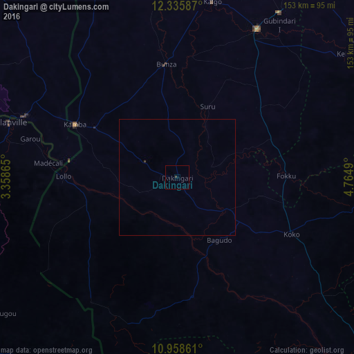
99.93%Clear (daylight) street map image can be seen on geolist.org.
Map coordinates:
12° 20' 9.1" North, 3° 21' 31.1" East
11° 38' 53.1" North, 4° 3' 42.4" East
10° 57' 31" North, 4° 45' 53.6" East
Some cities around Dakingari sort by population:
• Jega
72.7 km =45.2 mi,  28°
28°
• Malanville, BJ
77.8 km =48.3 mi,  288°
288°
• Gaya, NE
71.7 km =44.6 mi, 291°
• Kamba
49.8 km =30.9 mi,  297°
297°
• Maiyama
58.7 km =36.5 mi, 34°
• Shanga
74.3 km =46.2 mi,  130°
130°
• Kende
25.9 km =16.1 mi,  123°
123°
• Bagudo
32.5 km =20.2 mi,  146°
146°
2345643 (p: 12,558)
Sources (retrieved 2019-11-25):
» Earth at Night: Flat Maps 2012, 2016