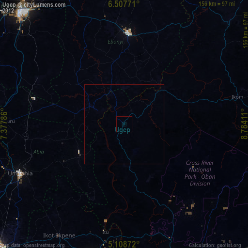
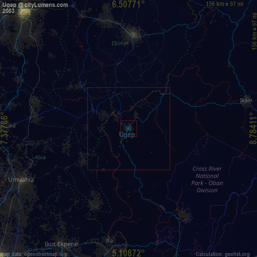
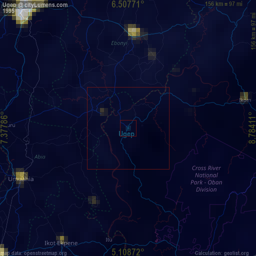
Ugep night lights from space
Night Light of Ugep (Cross River) from space (Nigeria) Src. Average luminocity for 10x10km area is 0% and for 50x50km: 0%.
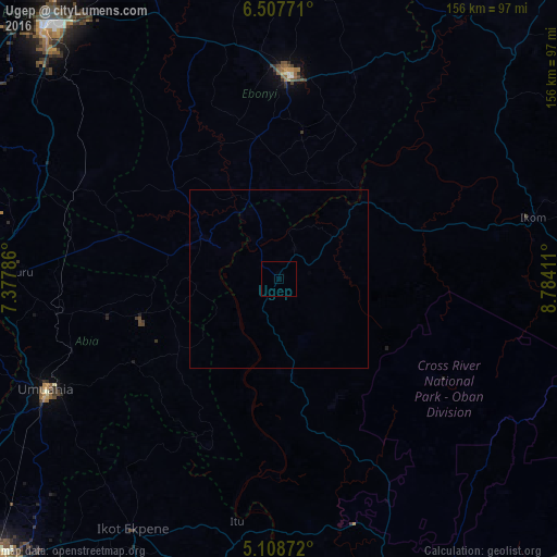
Analysis of Ugep night lights 2016
Square area 10x10 km:
 0%
0%90-99
0%80-89
0%70-79
0%60-69
0%50-59
0%40-49
0%30-39
0%20-29
0%10-19
0%0-9
100%Square area 50x50 km:
0%90-99
0%80-89
0%70-79
0%60-69
0%50-59
0%40-49
0%30-39
0%20-29
0%10-19
0%0-9
100%Clear (daylight) street map image can be seen on geolist.org.
Map coordinates:
6° 30' 27.8" North, 7° 22' 40.3" East
5° 48' 31.1" North, 8° 4' 51.5" East
5° 6' 31.4" North, 8° 47' 2.8" East
Some cities around Ugep sort by population:
• Abakaliki
57.5 km =35.7 mi,  3°
3°
• Amaigbo
26.9 km =16.7 mi,  265°
265°
• Bende
56.8 km =35.3 mi,  240°
240°
• Ohafia-Ifigh
36.8 km =22.9 mi,  234°
234°
• Afikpo
18.6 km =11.6 mi,  300°
300°
• Obubra
40.8 km =25.4 mi,  43°
43°
• Arochukwu
50.2 km =31.2 mi,  201°
201°
• Ake-Eze
46.4 km =28.8 mi,  285°
285°
2320831 (p: 200,276)
Sources (retrieved 2019-11-25):
» NASA, Earths city lights 1995
» NASA city lights 2003
» Earth at Night: Flat Maps 2012, 2016