Mahuta night lights from space
Night Light of Mahuta (Kebbi) from space (Nigeria) Src. Average luminocity for 10x10km area is 0% and for 50x50km: 0%.
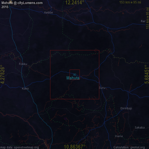
Analysis of Mahuta night lights 2016
Square area 10x10 km:
100  0%
0%
90-99 0%
80-89 0%
70-79 0%
60-69 0%
50-59 0%
40-49 0%
30-39 0%
20-29 0%
10-19 0%
0-9 100%
0%90-99
0%80-89
0%70-79
0%60-69
0%50-59
0%40-49
0%30-39
0%20-29
0%10-19
0%0-9
100%Square area 50x50 km:
100 0%
90-99 0%
80-89 0%
70-79 0%
60-69 0%
50-59 0%
40-49 0%
30-39 0%
20-29 0%
10-19 0%
0-9 100%
0%90-99
0%80-89
0%70-79
0%60-69
0%50-59
0%40-49
0%30-39
0%20-29
0%10-19
0%0-9
100%Clear (daylight) street map image can be seen on geolist.org.
Map coordinates:
12° 14' 29" North, 4° 16' 41.7" East
11° 33' 12.2" North, 4° 58' 53" East
10° 51' 49.2" North, 5° 41' 4.2" East
Some cities around Mahuta sort by population:
• Gummi
67.4 km =41.9 mi,  12°
12°
• Zuru
30.6 km =19 mi,  115°
115°
• Rijau
58.2 km =36.2 mi,  149°
149°
• Duku
36.2 km =22.5 mi,  192°
192°
• Shanga
57.8 km =35.9 mi,  229°
229°
• Kende
78.6 km =48.8 mi,  267°
267°
• Bagudo
84 km =52.2 mi,  258°
258°
• Dabai
25.9 km =16.1 mi,  109°
109°
2331493 (p: 9,047)
Sources (retrieved 2019-11-25):
» Earth at Night: Flat Maps 2012, 2016