Dutse night lights from space
Night Light of Dutse (Jigawa) from space (Nigeria) Src. Average luminocity for 10x10km area is 14.0165% and for 50x50km: 1.2942%.
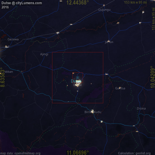
Analysis of Dutse night lights 2016
Square area 10x10 km:
100  0%
0%
90-99 5.79%
80-89 0.83%
70-79 1.86%
60-69 1.03%
50-59 1.65%
40-49 1.45%
30-39 1.45%
20-29 1.24%
10-19 9.71%
0-9 75%
0%90-99
5.79%80-89
0.83%70-79
1.86%60-69
1.03%50-59
1.65%40-49
1.45%30-39
1.45%20-29
1.24%10-19
9.71%0-9
75%Square area 50x50 km:
100 0%
90-99 0.41%
80-89 0.13%
70-79 0.19%
60-69 0.08%
50-59 0.15%
40-49 0.13%
30-39 0.19%
20-29 0.13%
10-19 0.88%
0-9 97.72%
0%90-99
0.41%80-89
0.13%70-79
0.19%60-69
0.08%50-59
0.15%40-49
0.13%30-39
0.19%20-29
0.13%10-19
0.88%0-9
97.72%Clear (daylight) street map image can be seen on geolist.org.
Map coordinates:
12° 26' 37.2" North, 8° 38' 9" East
11° 45' 22.2" North, 9° 20' 20.3" East
11° 4' 1.1" North, 10° 2' 31.5" East
Some cities around Dutse sort by population:
• Birnin Kudu
37.1 km =23.1 mi,  155°
155°
• Wudil
54.2 km =33.7 mi,  276°
276°
• Gaya
38.4 km =23.9 mi,  287°
287°
• Kiyawa
29.3 km =18.2 mi,  83°
83°
• Ringim
48 km =29.8 mi,  336°
336°
• Takai
32.1 km =19.9 mi,  231°
231°
• Samamiya
55.9 km =34.7 mi,  144°
144°
• Disina
70.2 km =43.6 mi,  115°
115°
2344245 (p: 17,129)
Sources (retrieved 2019-11-25):
» Earth at Night: Flat Maps 2012, 2016