Epe night lights from space
Night Light of Epe (Lagos) from space (Nigeria) Src. Average luminocity for 10x10km area is 2.3247% and for 50x50km: 1.3217%.
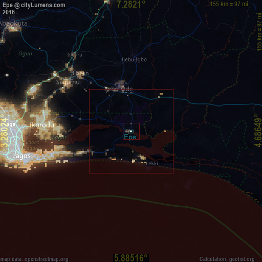
Analysis of Epe night lights 2016
Square area 10x10 km:
 0%
0%90-99
0%80-89
0.87%70-79
0%60-69
0%50-59
0%40-49
1.73%30-39
1.52%20-29
0.65%10-19
0.43%0-9
94.81%Square area 50x50 km:
0%90-99
0.06%80-89
0.27%70-79
0.14%60-69
0.2%50-59
0.16%40-49
0.38%30-39
0.39%20-29
0.48%10-19
0.42%0-9
97.5%Clear (daylight) street map image can be seen on geolist.org.
Map coordinates:
7° 16' 55.6" North, 3° 16' 48.9" East
6° 35' 2.8" North, 3° 59' 0.1" East
5° 53' 6.6" North, 4° 41' 11.4" East
Some cities around Epe sort by population:
• Ebute Ikorodu
54.7 km =34 mi,  271°
271°
• Shagamu
47.4 km =29.5 mi,  308°
308°
• Ijebu-Ode
27.2 km =16.9 mi,  344°
344°
• Ijebu-Igbo
43.2 km =26.8 mi,  2°
2°
• Iperu
50.4 km =31.3 mi,  315°
315°
• Ejirin
9.8 km =6.1 mi,  290°
290°
• Isara
56.4 km =35 mi, 323°
• Ijebu-Ife
22.3 km =13.9 mi,  14°
14°
2343252 (p: 84,711)
Sources (retrieved 2019-11-25):
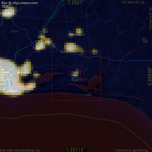
» NASA, Earths city lights 1995
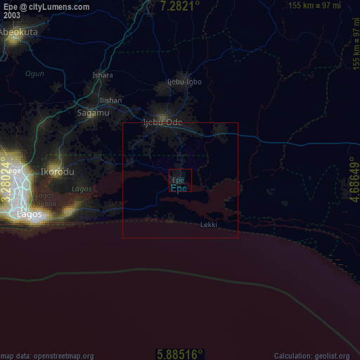
» NASA city lights 2003
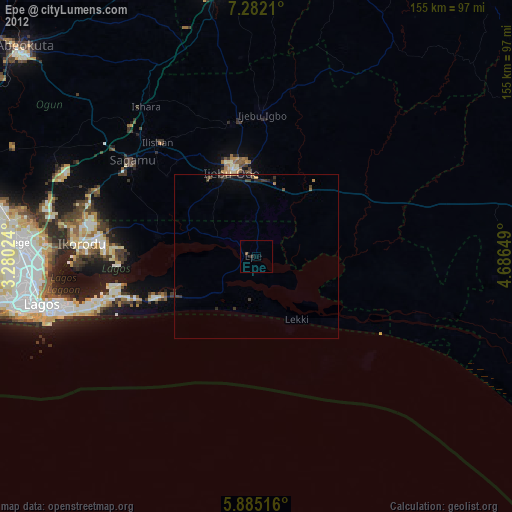
» Earth at Night: Flat Maps 2012, 2016