Ebute Ikorodu night lights from space
Night Light of Ebute Ikorodu (Lagos) from space (Nigeria) Src. Average luminocity for 10x10km area is 70.8095% and for 50x50km: 46.7696%.
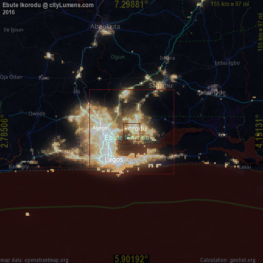
Analysis of Ebute Ikorodu night lights 2016
Square area 10x10 km:
 1.73%
1.73%90-99
19.05%80-89
27.92%70-79
12.99%60-69
7.79%50-59
11.9%40-49
4.76%30-39
9.31%20-29
4.55%10-19
0%0-9
0%Square area 50x50 km:
6.6%90-99
11.04%80-89
12.24%70-79
6.52%60-69
4.05%50-59
5%40-49
5.35%30-39
5.94%20-29
10.52%10-19
9.88%0-9
22.85%Clear (daylight) street map image can be seen on geolist.org.
Map coordinates:
7° 17' 55.7" North, 2° 47' 6.2" East
6° 36' 3.1" North, 3° 29' 17.4" East
5° 54' 6.9" North, 4° 11' 28.7" East
Some cities around Ebute Ikorodu sort by population:
• Lagos
19.3 km =12 mi,  212°
212°
• Ikeja
16.1 km =10 mi,  268°
268°
• Shagamu
32.6 km =20.3 mi,  32°
32°
• Ifo
40.2 km =25 mi,  306°
306°
• Makoko
16.1 km =10 mi,  223°
223°
• Iperu
39.6 km =24.6 mi, 29°
• Ejirin
45.5 km =28.3 mi,  88°
88°
• Owode
38.7 km =24 mi,  2°
2°
2344082 (p: 535,619)
Sources (retrieved 2019-11-25):
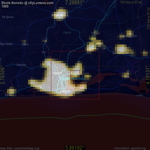
» NASA, Earths city lights 1995
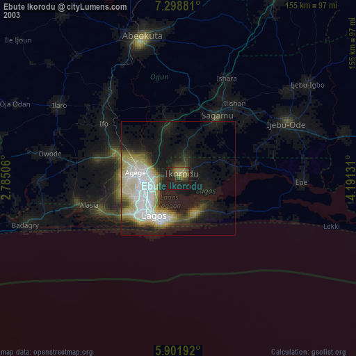
» NASA city lights 2003
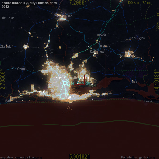
» Earth at Night: Flat Maps 2012, 2016