Ijebu-Ife night lights from space
Night Light of Ijebu-Ife (Ogun) from space (Nigeria) Src. Average luminocity for 10x10km area is 0.1494% and for 50x50km: 0.7528%.
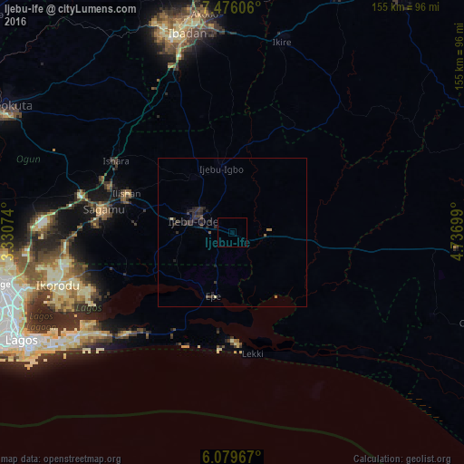
Analysis of Ijebu-Ife night lights 2016
Square area 10x10 km:
 0%
0%90-99
0%80-89
0%70-79
0%60-69
0%50-59
0%40-49
0%30-39
0%20-29
0%10-19
0.87%0-9
99.13%Square area 50x50 km:
0%90-99
0.03%80-89
0.03%70-79
0%60-69
0.11%50-59
0.06%40-49
0.15%30-39
0.49%20-29
0.75%10-19
0.49%0-9
97.87%Clear (daylight) street map image can be seen on geolist.org.
Map coordinates:
7° 28' 33.8" North, 3° 19' 50.7" East
6° 46' 42.1" North, 4° 2' 1.9" East
6° 4' 46.8" North, 4° 44' 13.2" East
Some cities around Ijebu-Ife sort by population:
• Ebute Ikorodu
63.4 km =39.4 mi,  251°
251°
• Shagamu
43.5 km =27 mi,  280°
280°
• Epe
22.3 km =13.9 mi,  194°
194°
• Apomu
65.8 km =40.9 mi,  14°
14°
• Iperu
43.2 km =26.8 mi,  289°
289°
• Ejirin
23.5 km =14.6 mi,  218°
218°
• Owode
61.3 km =38.1 mi, 287°
• Isara
45.7 km =28.4 mi,  301°
301°
2338404 (p: 5,733)
Sources (retrieved 2019-11-25):
» Earth at Night: Flat Maps 2012, 2016